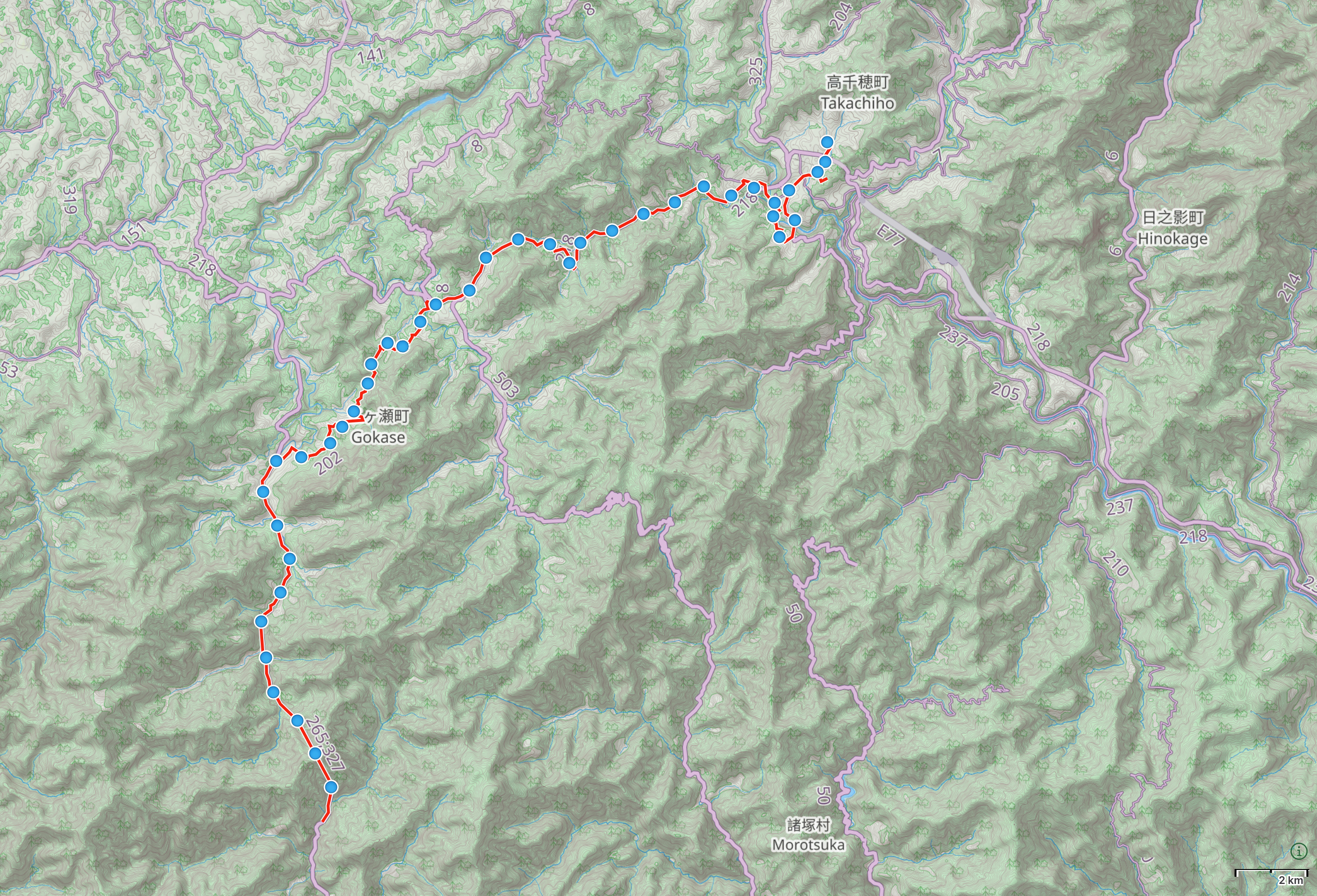
Shiiba, Miyazaki β†’ Takachiho, Miyazaki

Map of Miyazaki with author’s route from Shiiba to Takachiho highlighted. πŸ—Ί Open map in GaiaGPS β†’


Looking down a very long, straight tunnel. πŸ“ Kunimi Tunnel, Shiiba β†’ Gokase, Miyazaki


A sign shows a kingfisher diving for a trout.

The freshly cut stump of a tree, with a smaller stump half-embedded in it from one side.

Mushrooms drying in a basket on a porch.

Chestnuts in another basket.

An empty garage with a triptych of power metal posters above its entrance, replicated on the back wall.

Looking straight at a large Buddhist temple.

The polished wood floor of the porch of the temple. πŸ“ Gokase, Miyazaki


A lot of people on a walkway by a stream flowing through a gorge whose walls are black columns of basalt.

A sightseeing paddle boat in the gorge with two people in it.

Two people taking photos of several such sightseeing boats from a vantage point above the gorge. πŸ“ Takachiho Gorge, Miyazaki

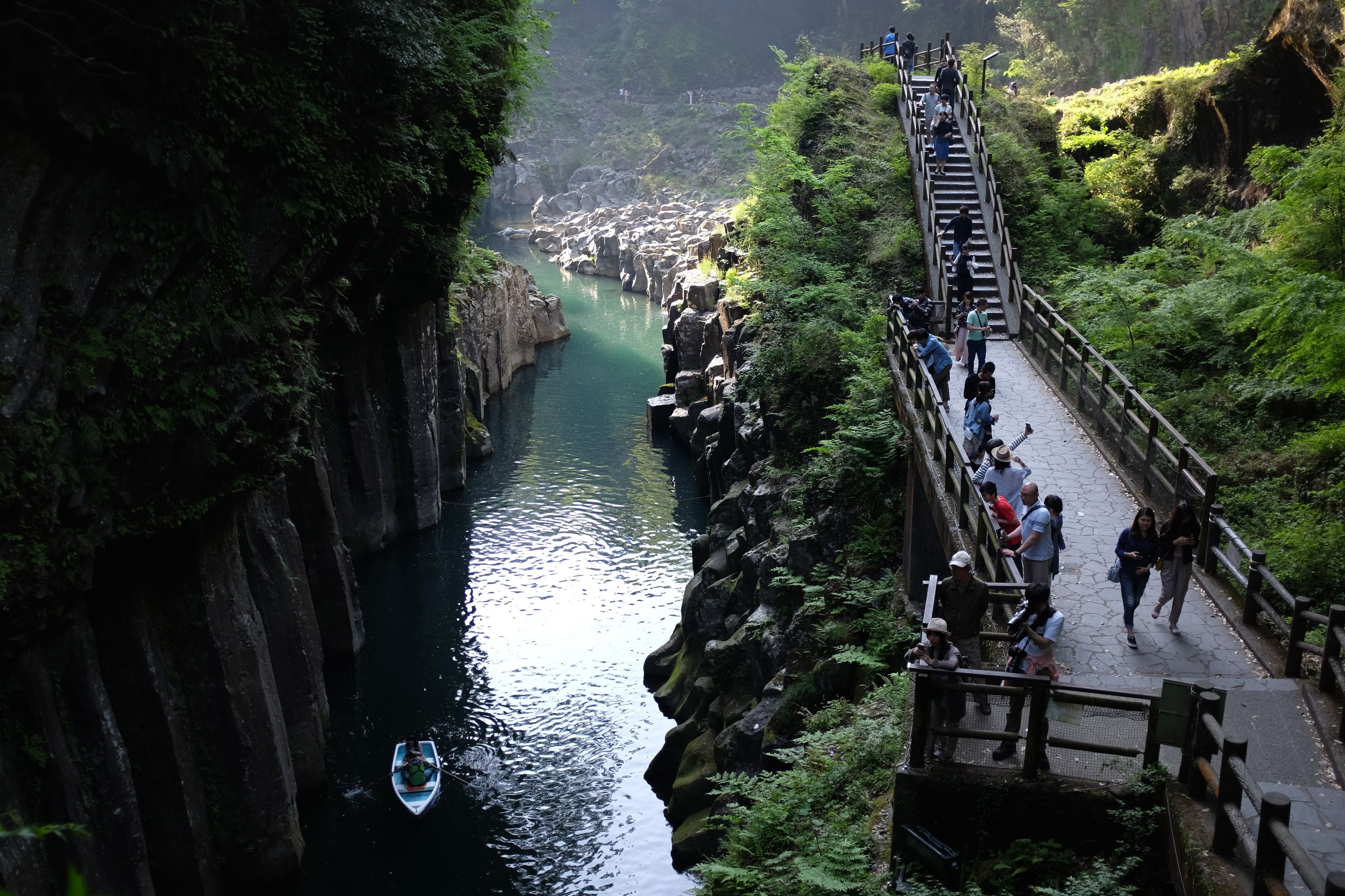
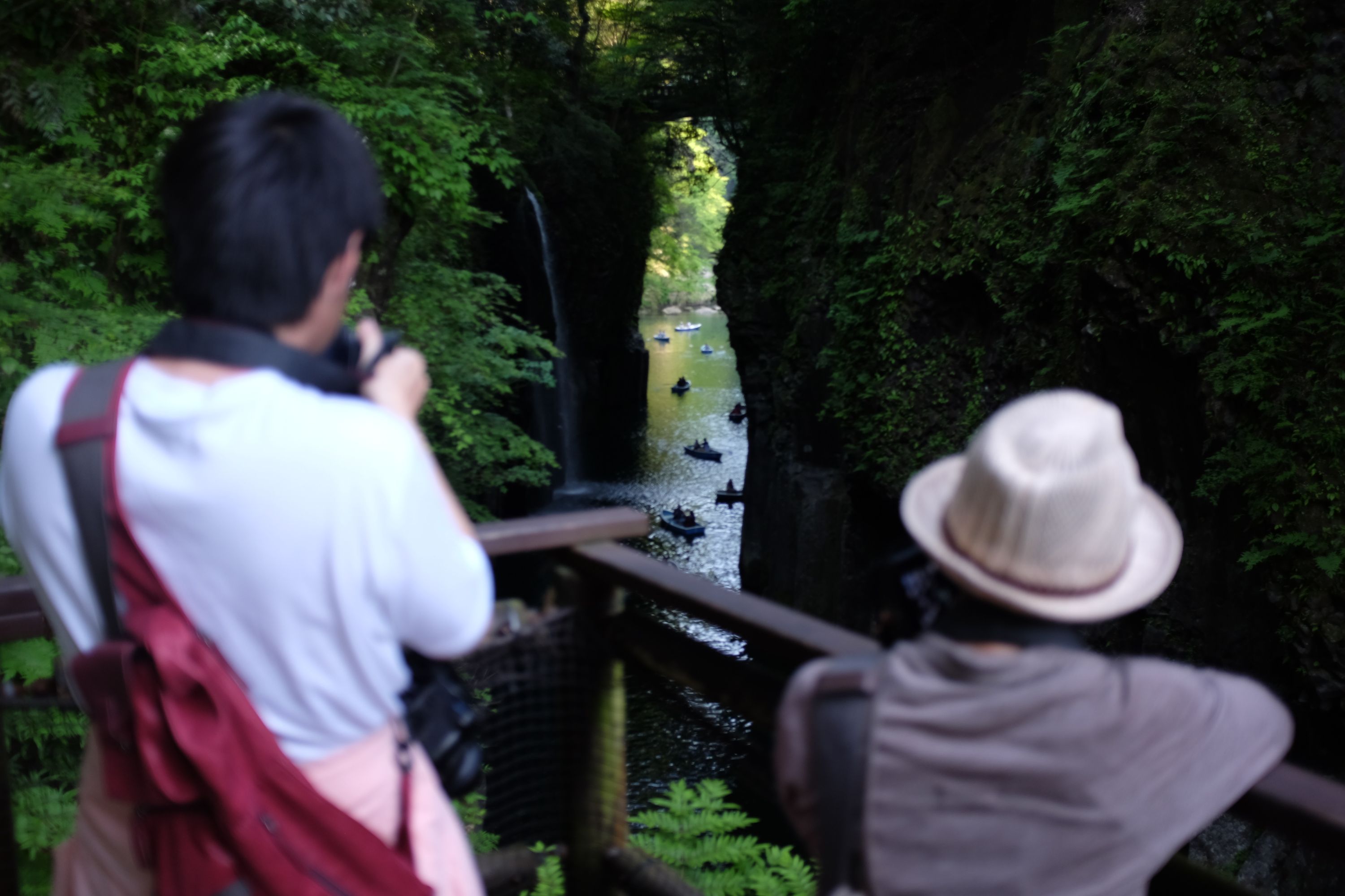
In the gorge of Takachiho, a narrow canyon formed by a lava flow of nearby Mount Aso, I saw girls wearing city clothes for the first time in two weeks. They paddled clumsily with boys wearing city clothes, bumping into the basalt pillars, looking at nothing but themselves on screens. And why wouldn’t they? They were beautiful, and the gorge was nothing but mute black rock, its waters swirling like indigo.


A manhole cover shows one of the boats in the gorge. πŸ“ Takachiho Gorge, Miyazaki


Bamboo shoots in the slanting afternoon light. πŸ“ Takachiho, Miyazaki

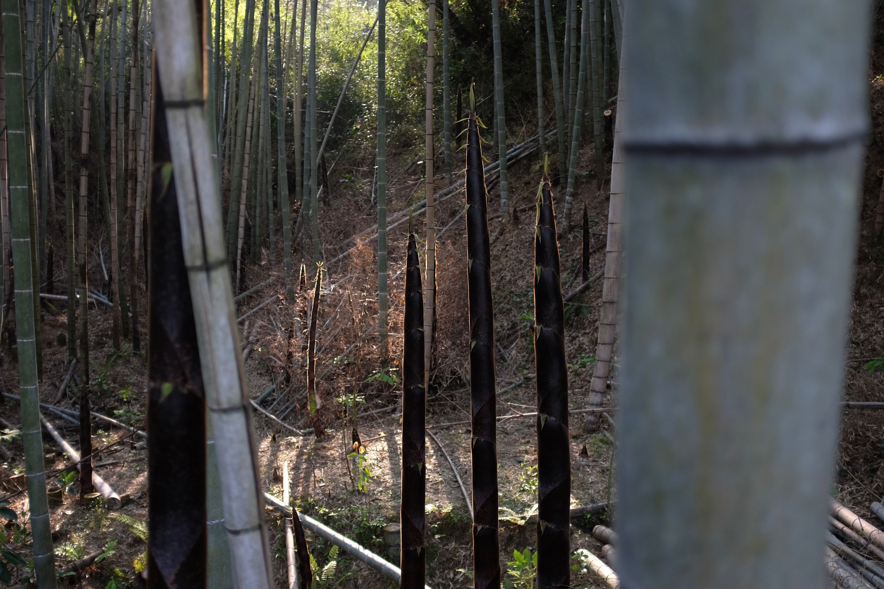
Bamboo is growing by the day as I walk north. When I landed on the shores of the Ōsumi Peninsula, in distant Kagoshima, they were ham-sized chunks pushing up through the undergrowth. Almost two weeks later, they have grown into sleek black pinnacles, glowing in the afternoon sun on the outskirts of Takachiho.

These Walking Dreams is a visual field diary of a 4,300-kilometer walk from one end of Japan to the other, in the spring and summer of 2017.