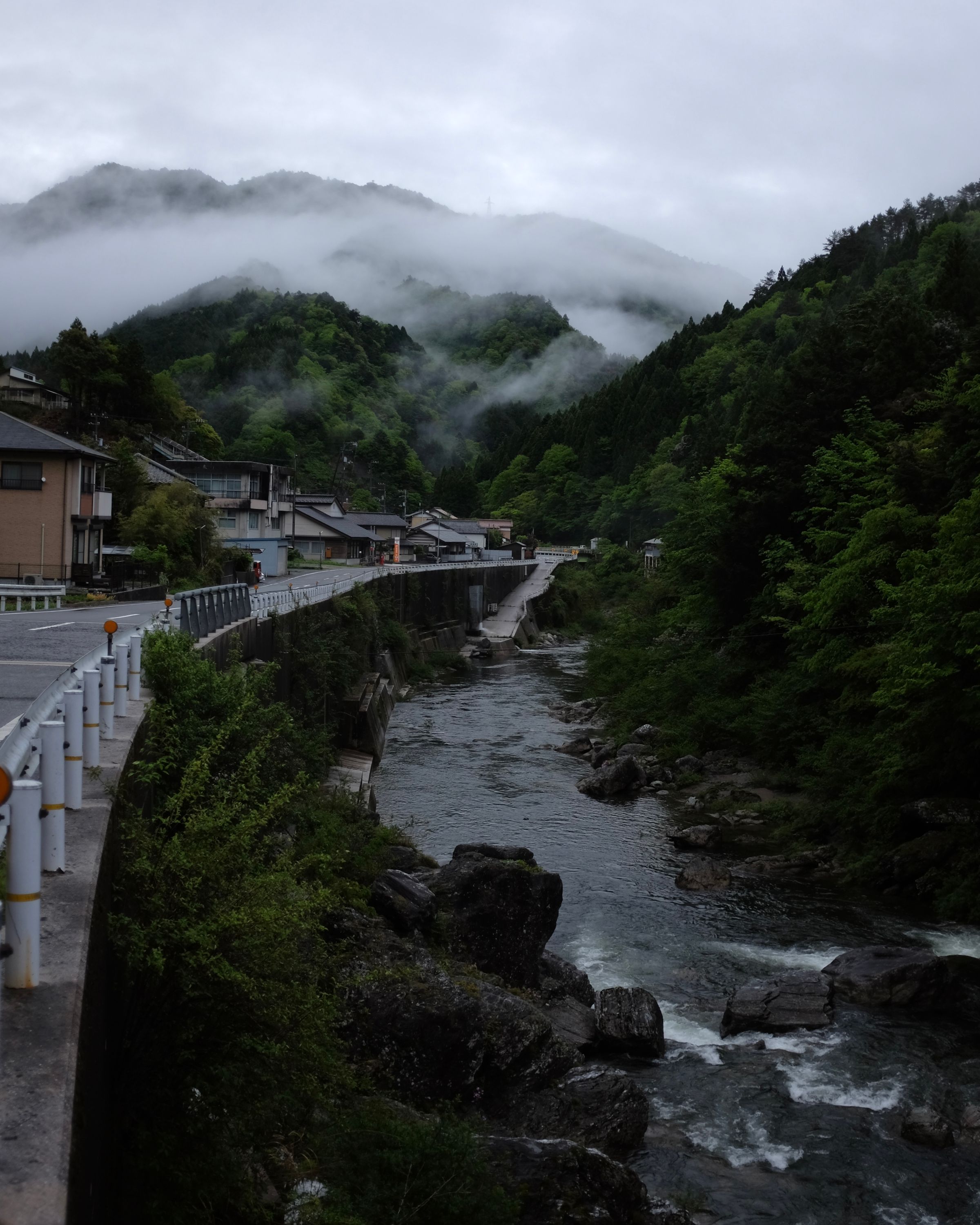
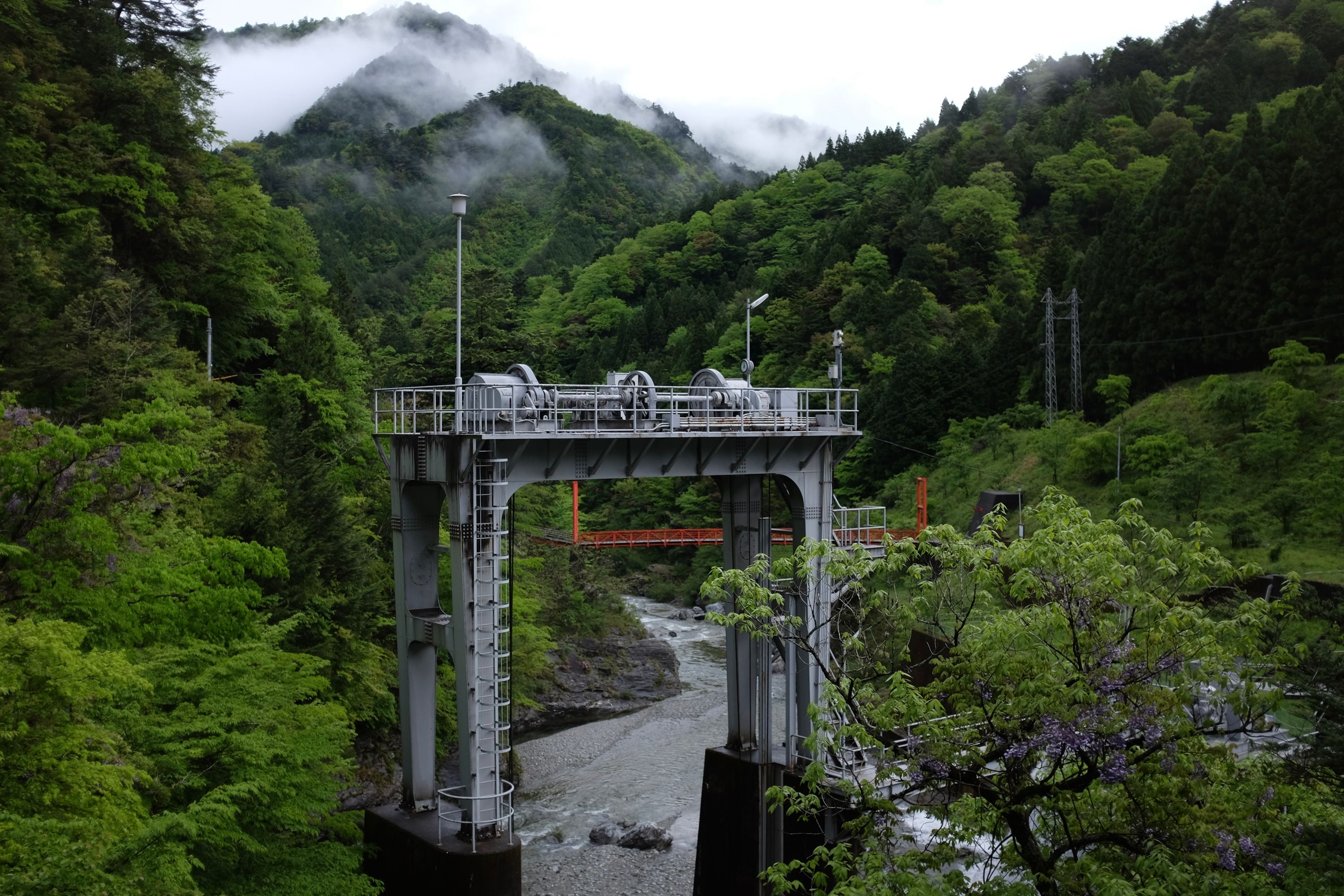
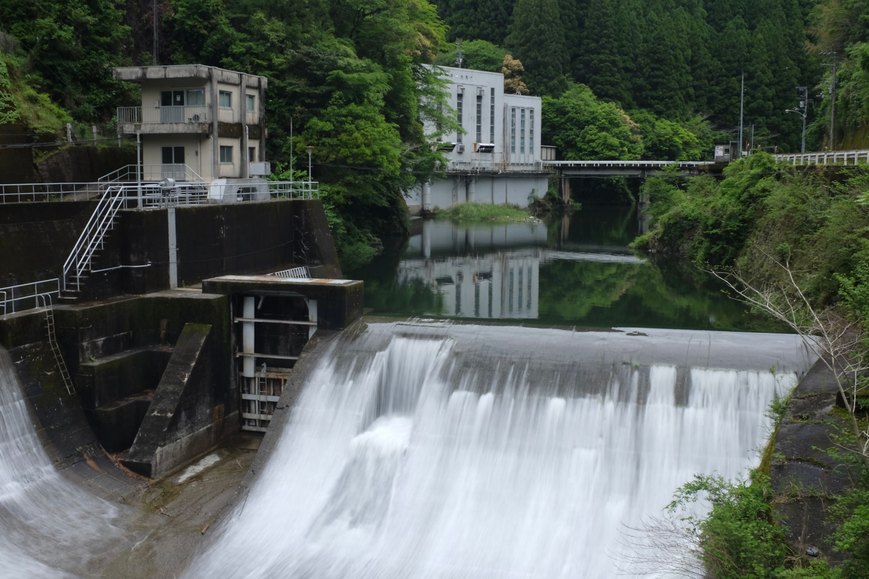
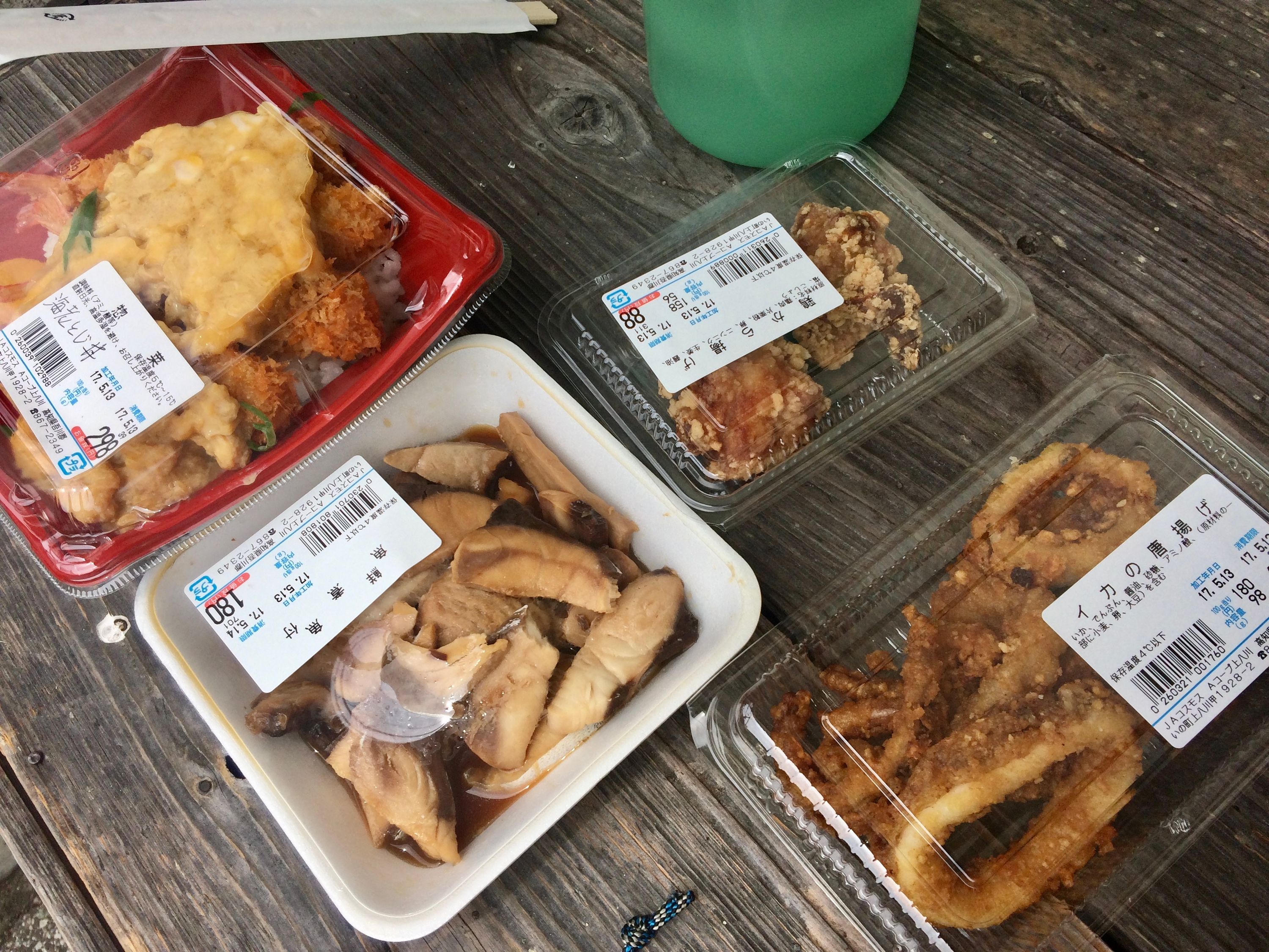
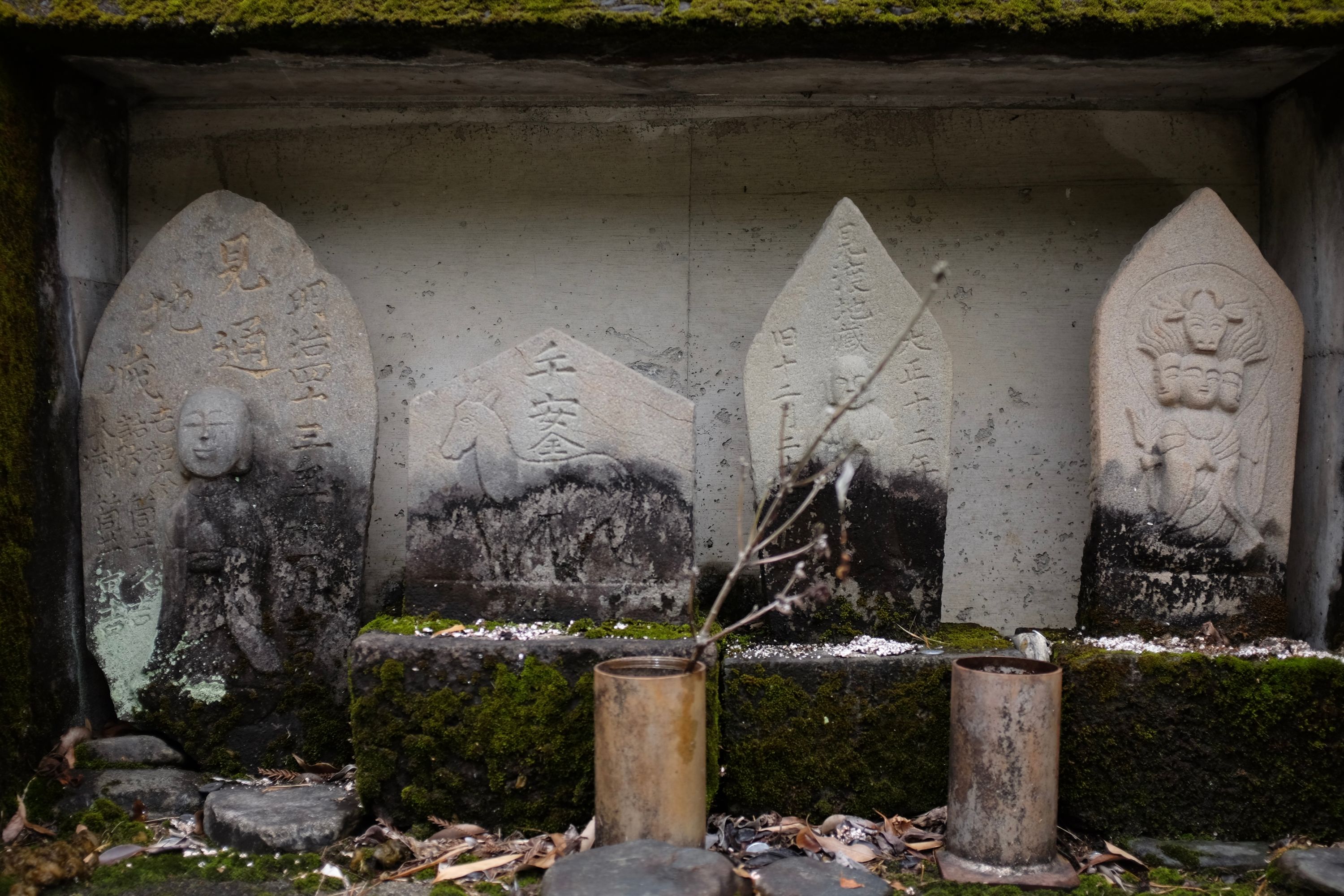
Nagasawa, Kōchi → West Ishihara, Kōchi

Map of Kōchi Prefecture with author’s route between Nagasawa and West Ishihara highlighted.

Open map in Gaia GPS →

A mountain river runs by a village road, with misty, forested mountains in the background.

📍 Nagasawa, Kōchi

The machinery of a hydroelectric power station stands in thickly forested, verdant green hills.

📍 Upper Kiyomizu, Kōchi

Water cascades over the dam of a small hydroelectric power station.

📍 Lower Kiyomizu, Kōchi

Several plastic boxes of fried convenience food store laid out on a bench, with a water bottle visible in the background.

Four small moss-covered roadside deities: two bald humans, a four-headed human figure, and a horse.

📍 Kamiyakawako, Kōchi

A giant flying squirrel makes a low pass over six children on a garage door mural, their left arms raised to the sky with clenched fists, the backs of their white shirts spelling “KOGAWA”.

📍 Kogawa, Kōchi

📍 West Ishihara, Kōchi
These Walking Dreams is a visual field diary of a 4,300-kilometer walk from one end of Japan to the other, in the spring and summer of 2017.