Day 108 (July 29, 2017)
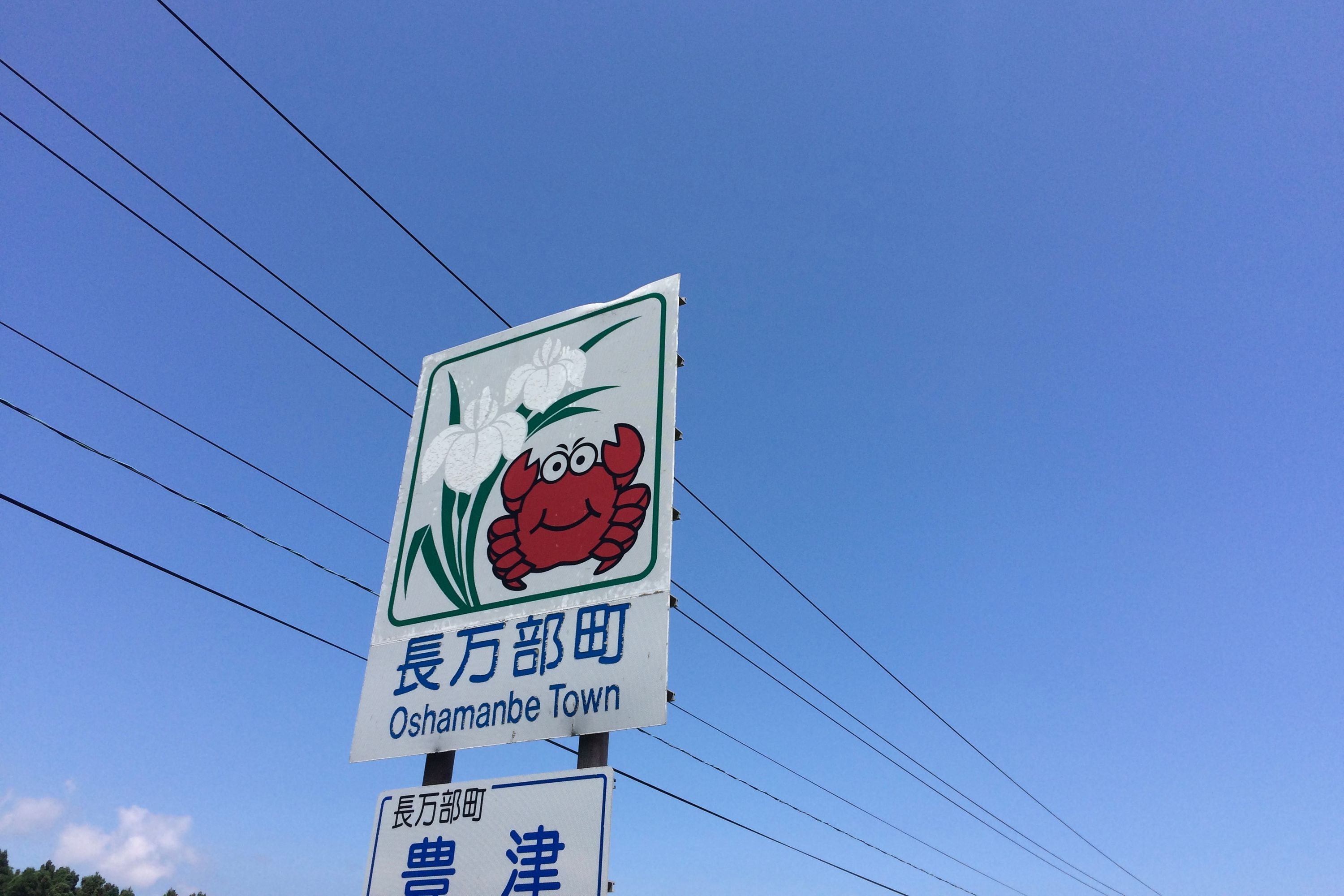
Kuroiwa Station, Hokkaido → Oshamanbe, Hokkaido → Rebunge, Toyoura, Hokkaido
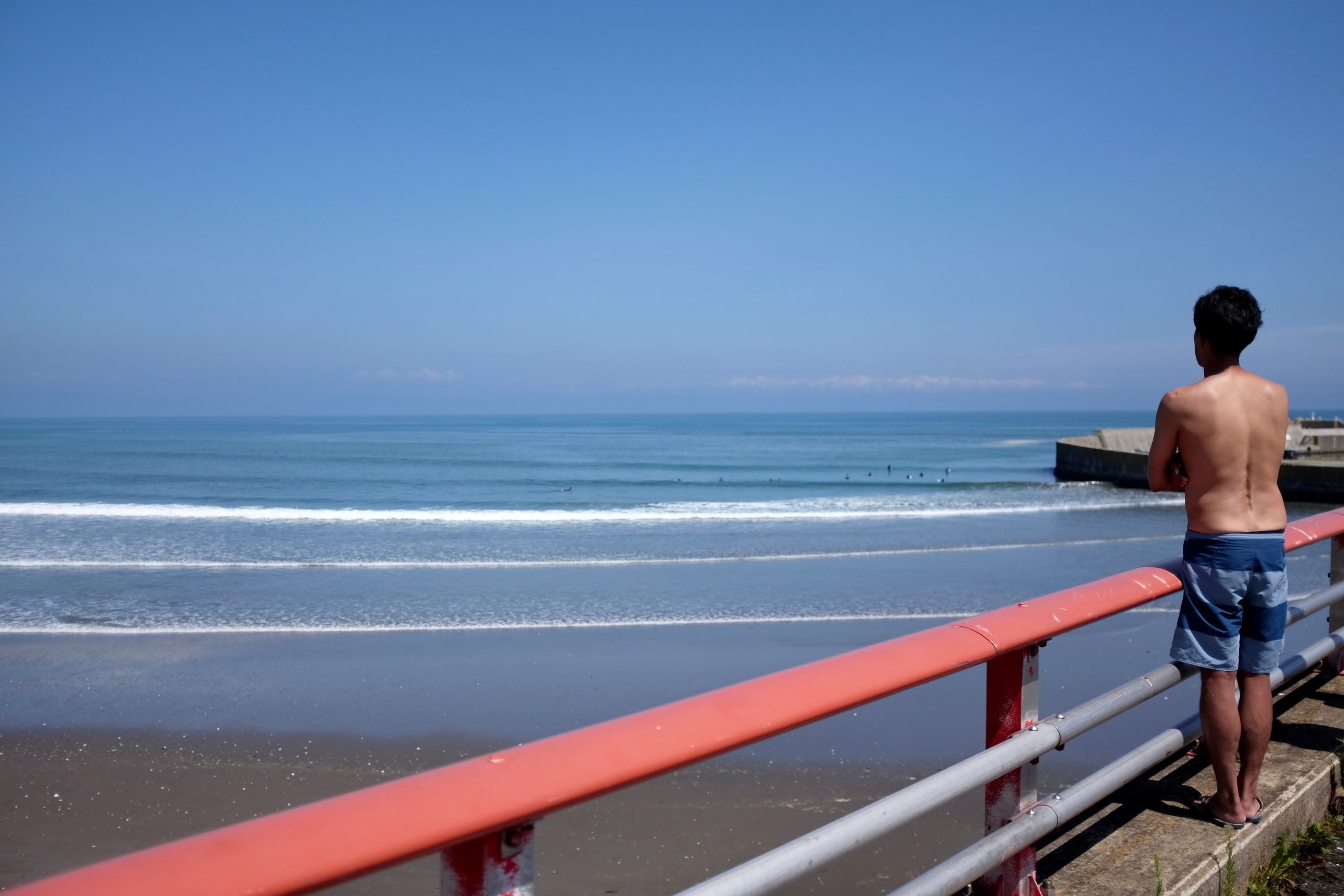
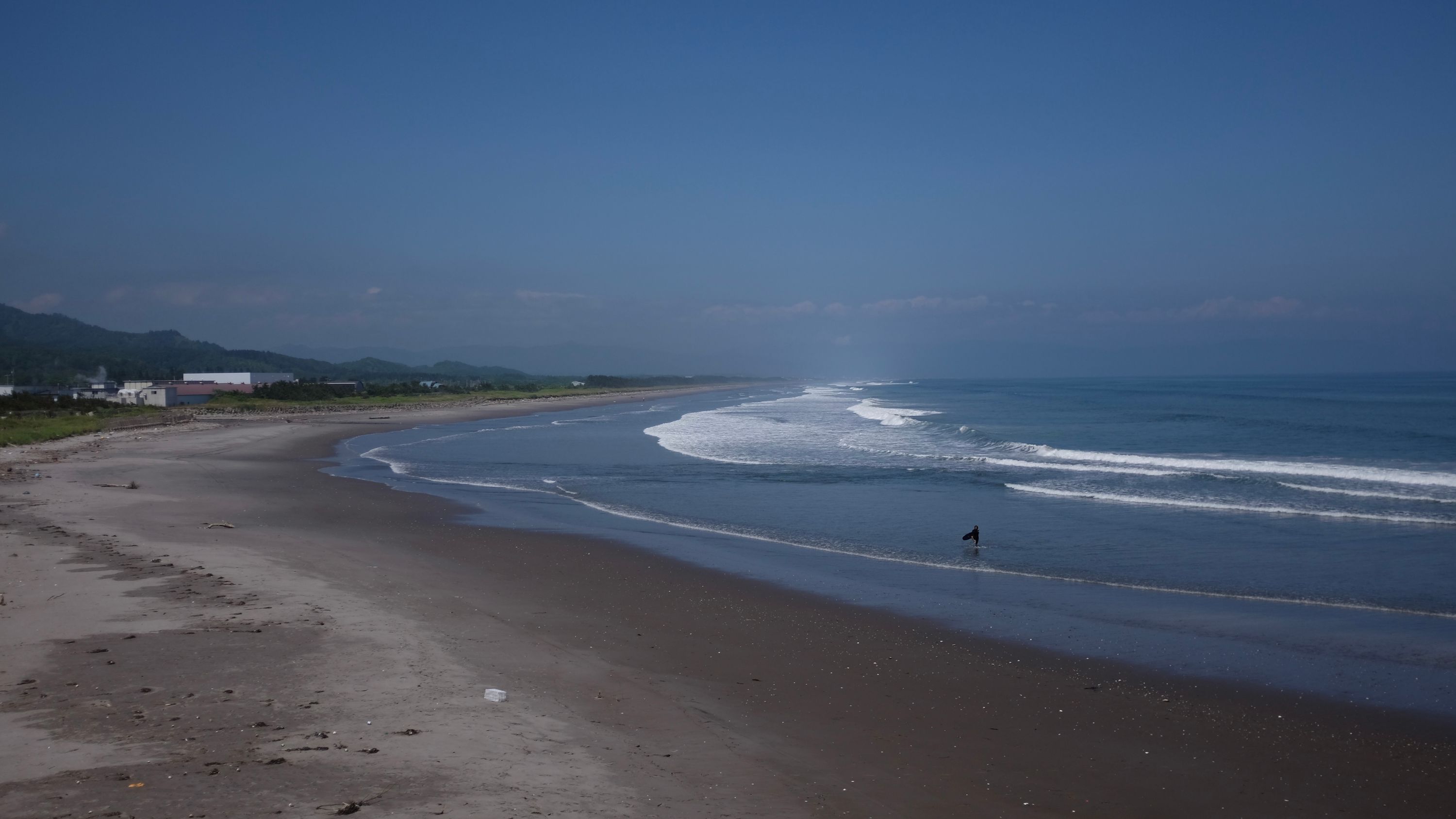
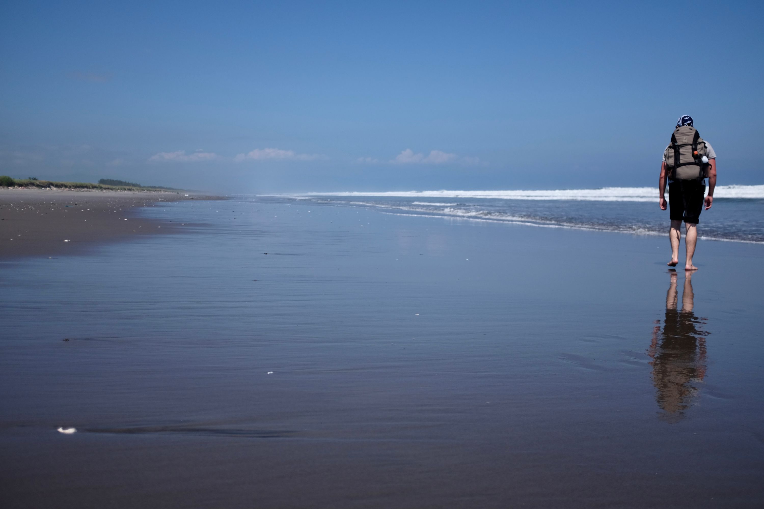
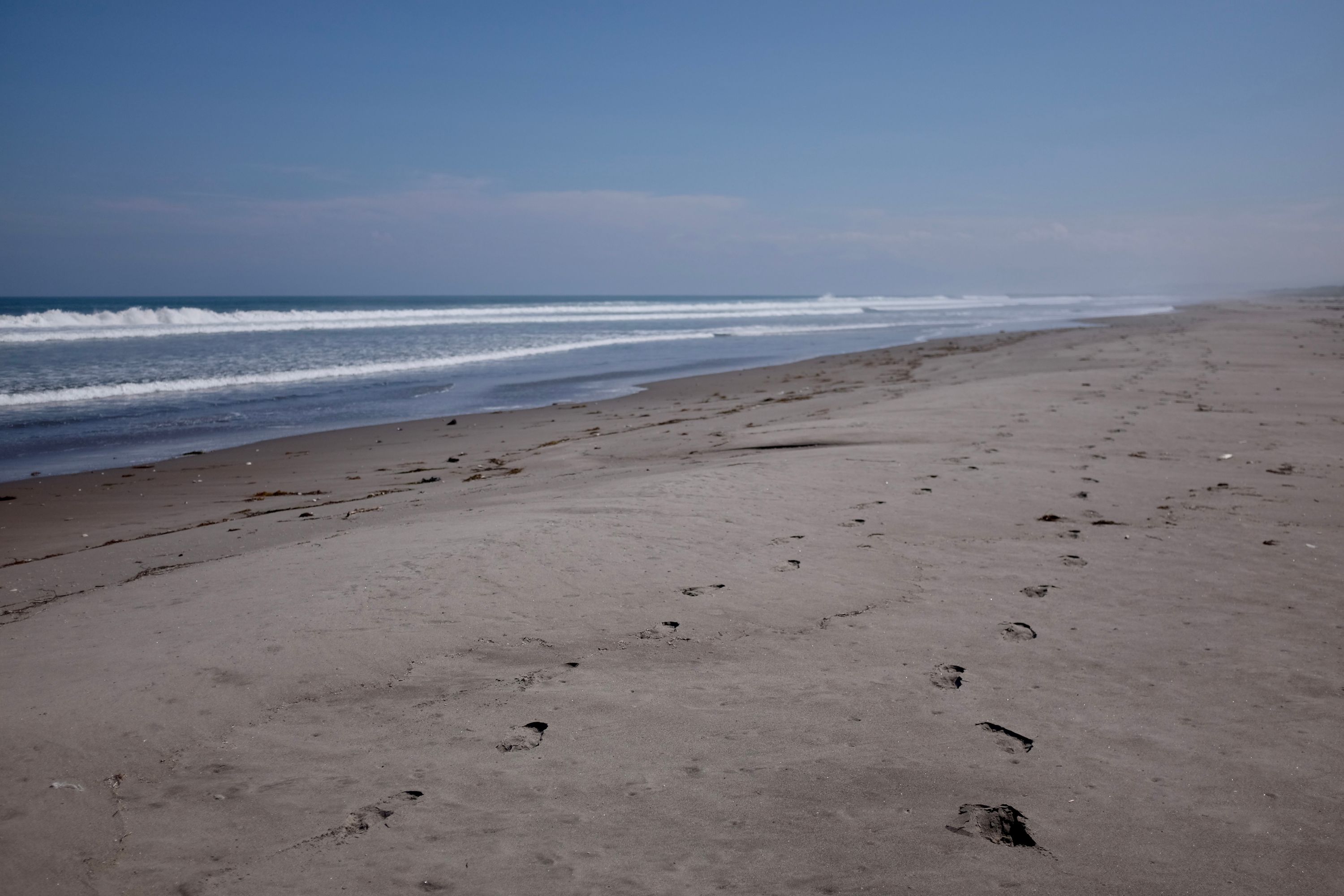
Surf was up on the great, flat expanse of Uchiura Bay, and the men who weren’t in wetsuits were shirtless and tanned, a juxtaposition of subtropical Japan on the not-so-icy north. After two days of walking on the side of National Route 5 we shed our shoes and rushed to the sea, and the roar of trucks was replaced with that of the waves rolling in from the open ocean. For brief moments, the long, invisible line in our wake was made visible, and our skin crackled in the hot sun.
Gabor took the evening train from Oshamambe to Sapporo, to prepare for a job interview. I walked on by myself for the next three days and re-joined him in Sapporo on the evening of August 1. From there we walked together to the end of our journey in Nemuro.↩︎