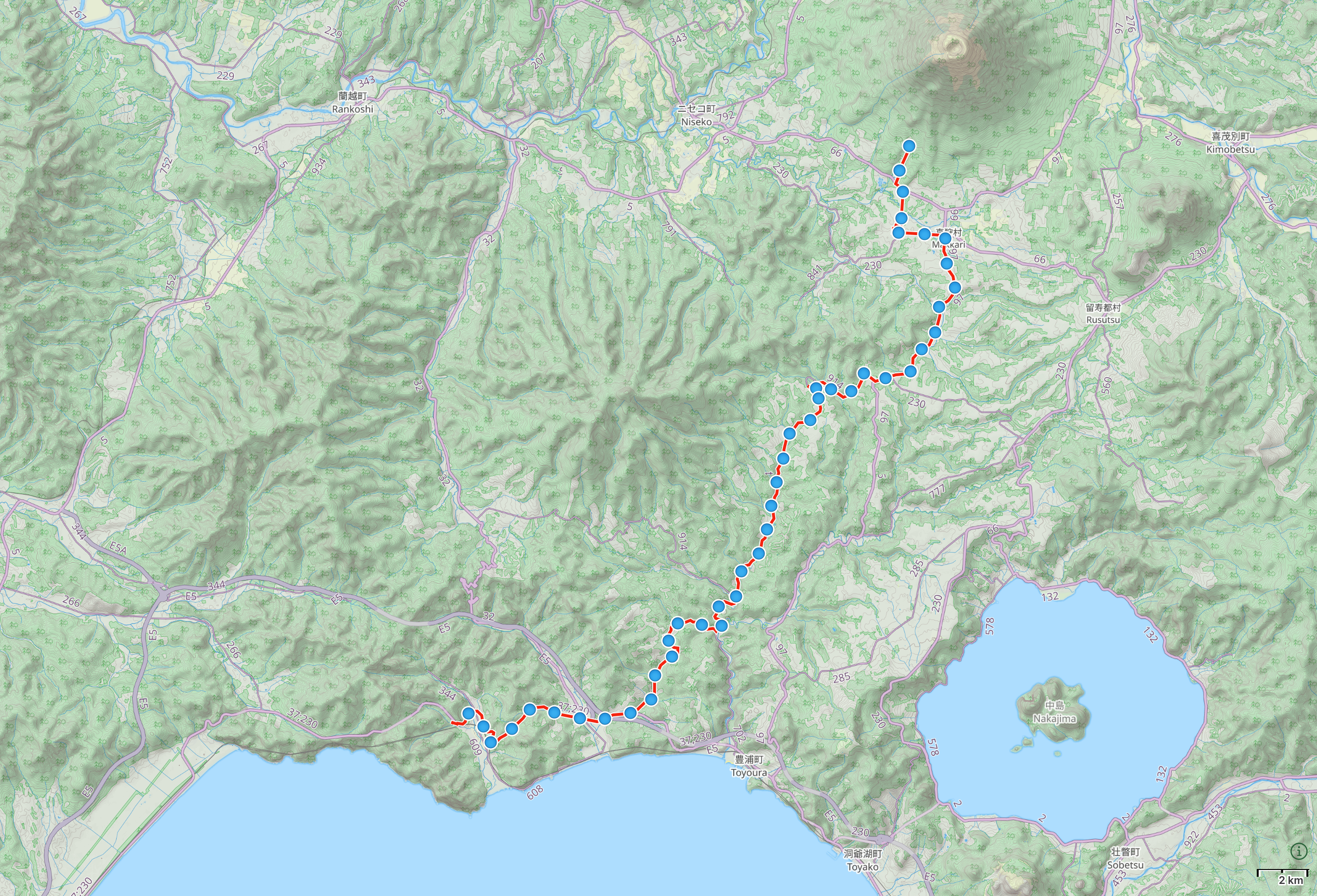
Day 109 (July 30, 2017)
Rebunge, Toyoura, Hokkaido → Makkari, Hokkaido
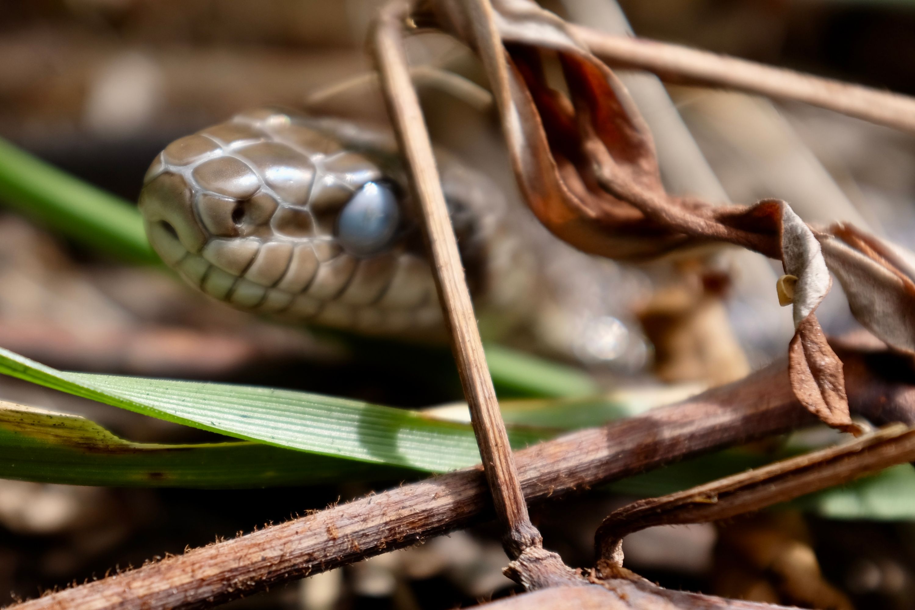
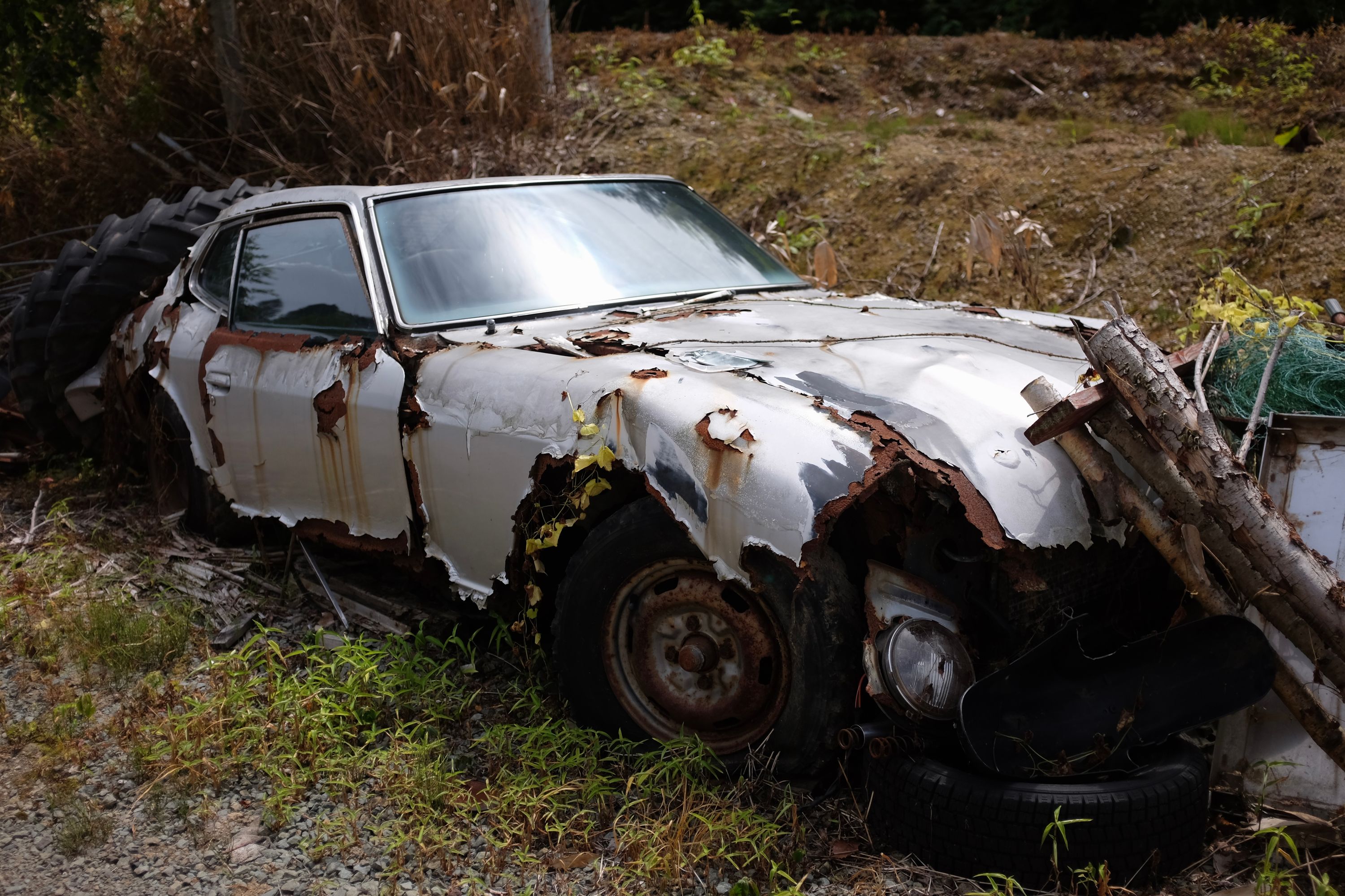
As it nears its next molting, the brilles of a snake cloud over until they are sloughed off in one piece with the old skin, a jumpsuit with built-in welding goggles.
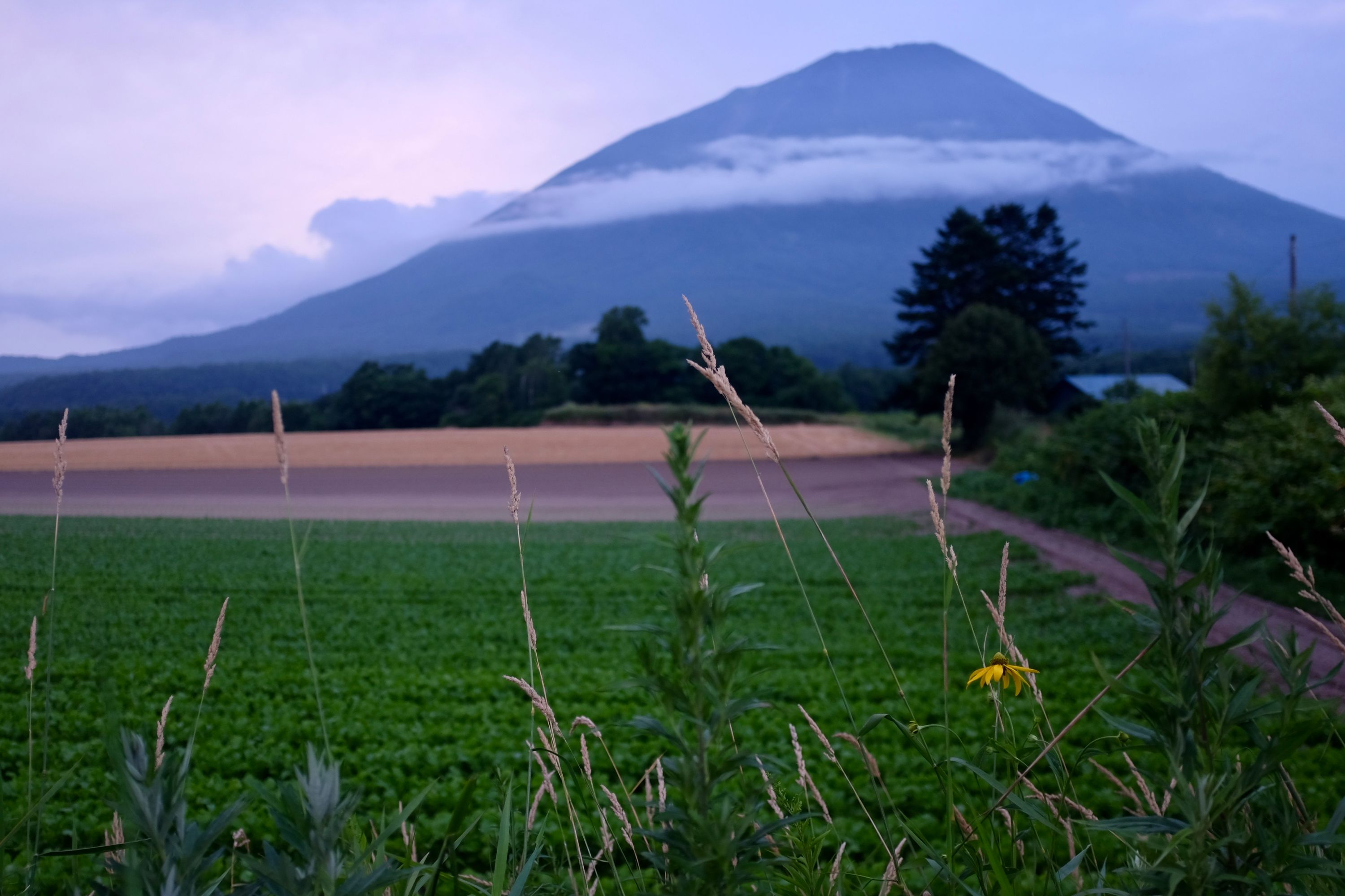
On a late afternoon aboard a Ugandan post bus four summers ago, I rounded a bend and the 4,127-meter pyramid of Mount Muhavura appeared out of nowhere, an oversized piece of Central African landscape fit for my feverish mind. Until I rounded another bend on a late afternoon four summers later and saw Mount Shiribeshi appear in similar fashion, I didn’t think such an overblown presentation of a mountain could ever be reproduced, but here I was again, staring wide-eyed at this middle finger to gravity whose relative height was similar to Muhavura’s. Later, at the bathhouse, I watched it fade into the sky, then walked to its foot.