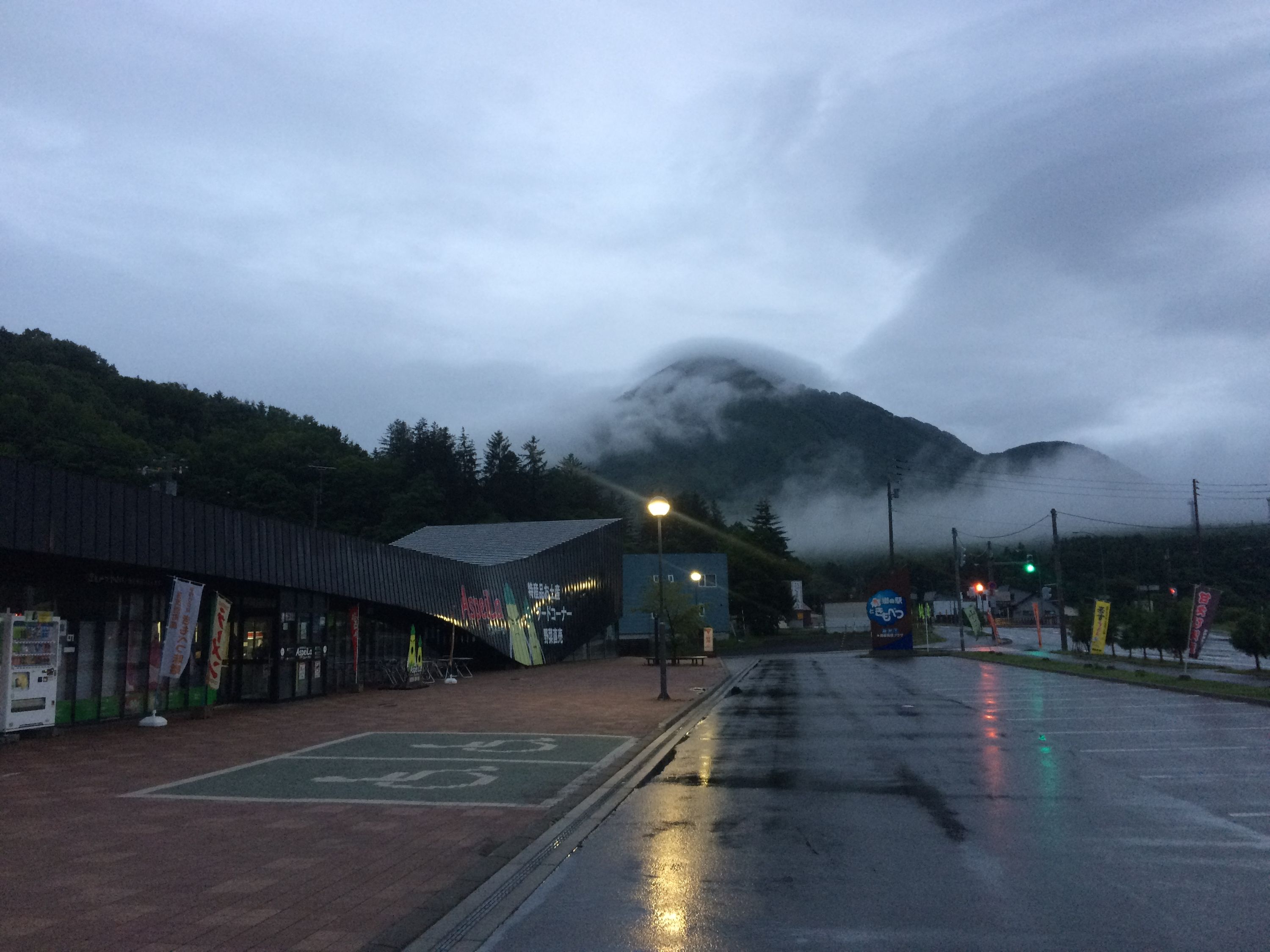
Day 110 (July 31, 2017)
Makkari, Hokkaido → Mount Shiribeshi1 → Nakayama Pass, Hokkaido
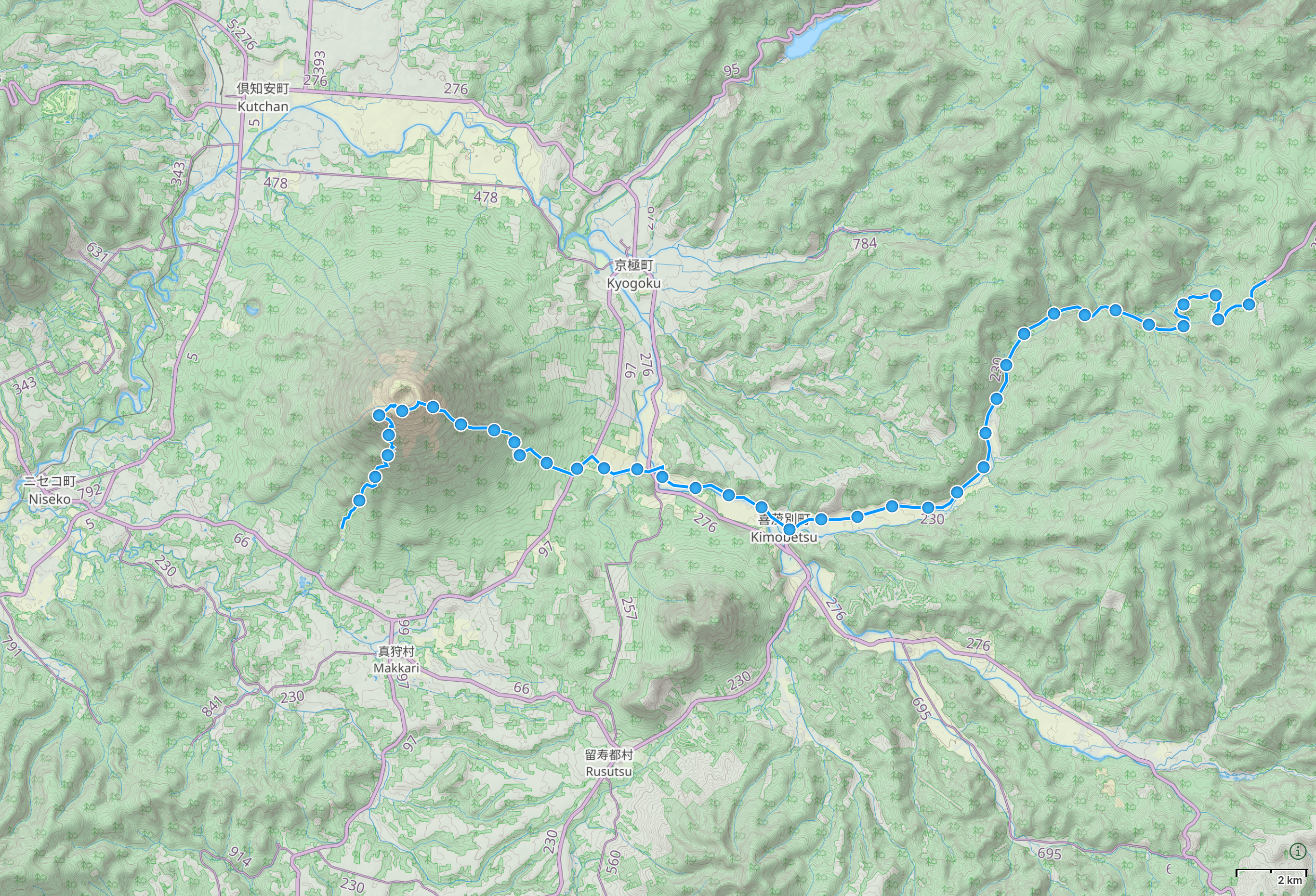
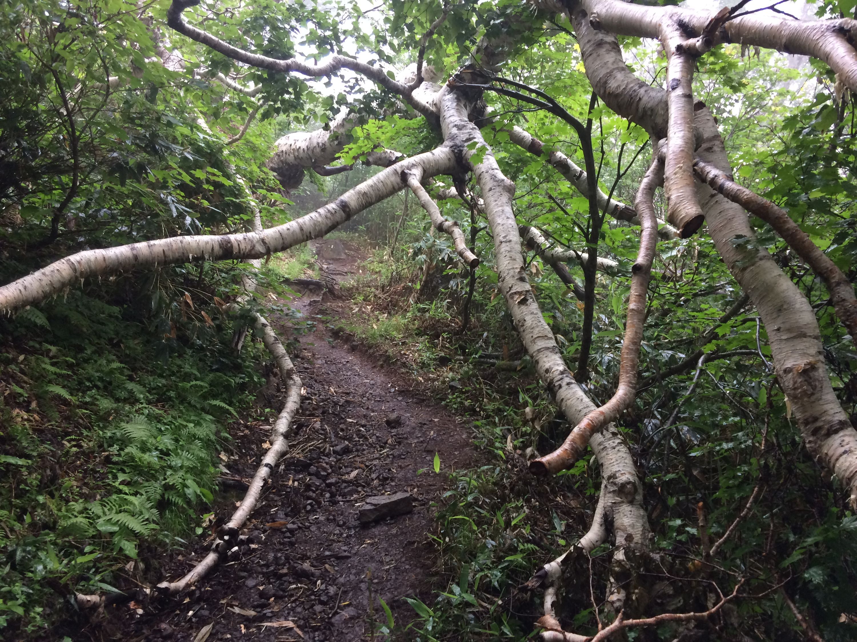
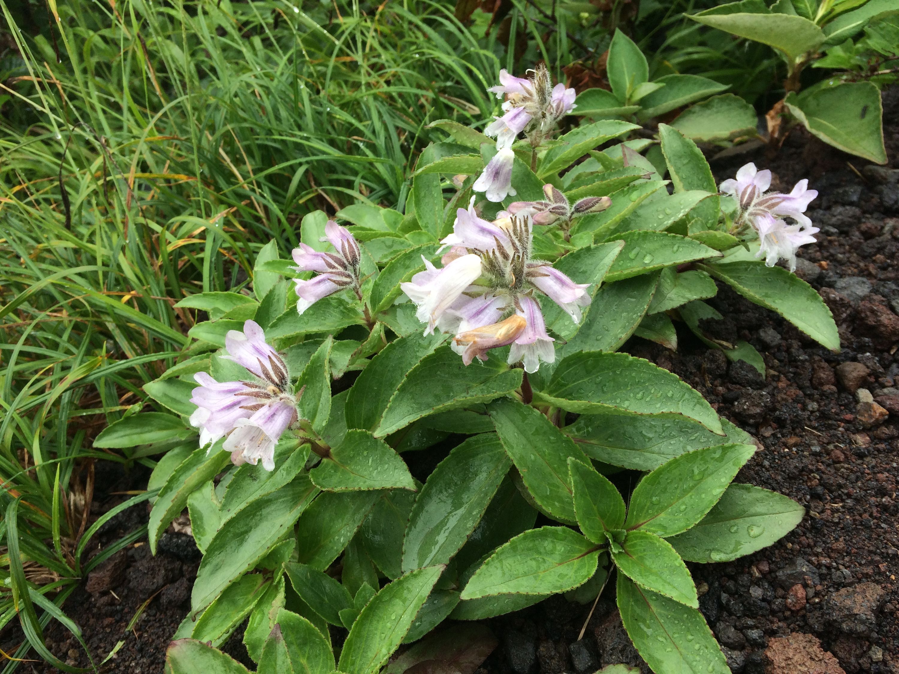
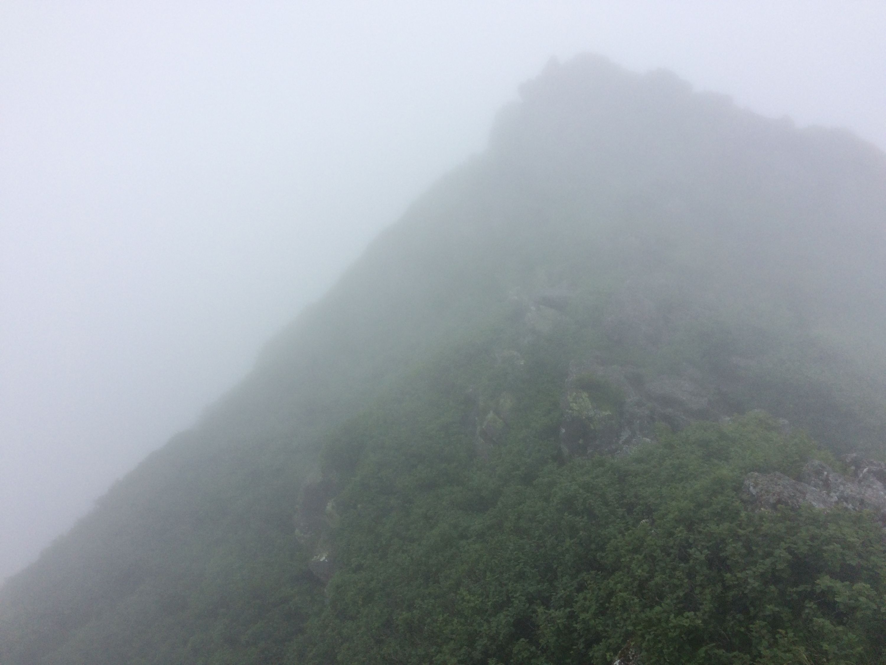
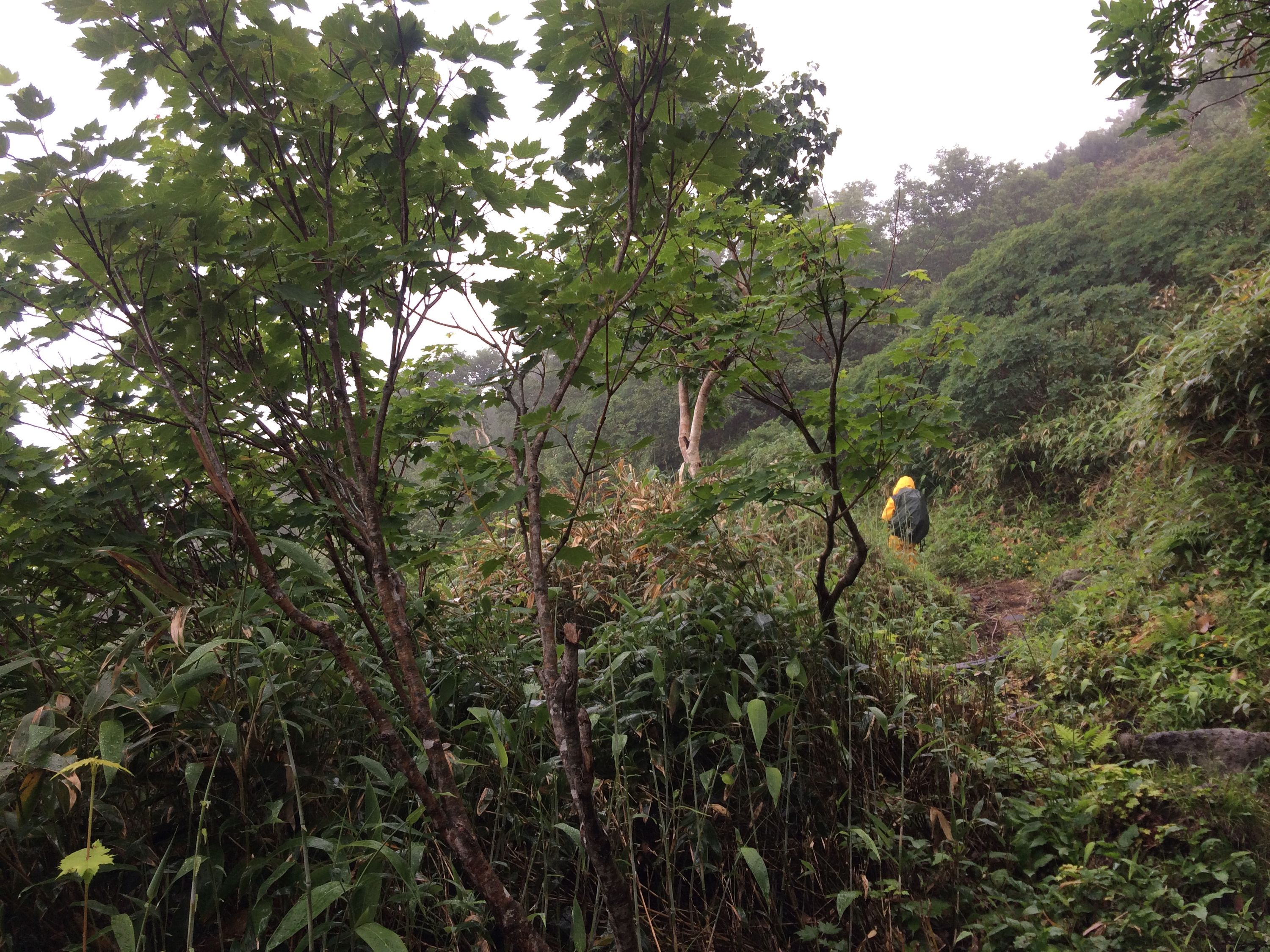
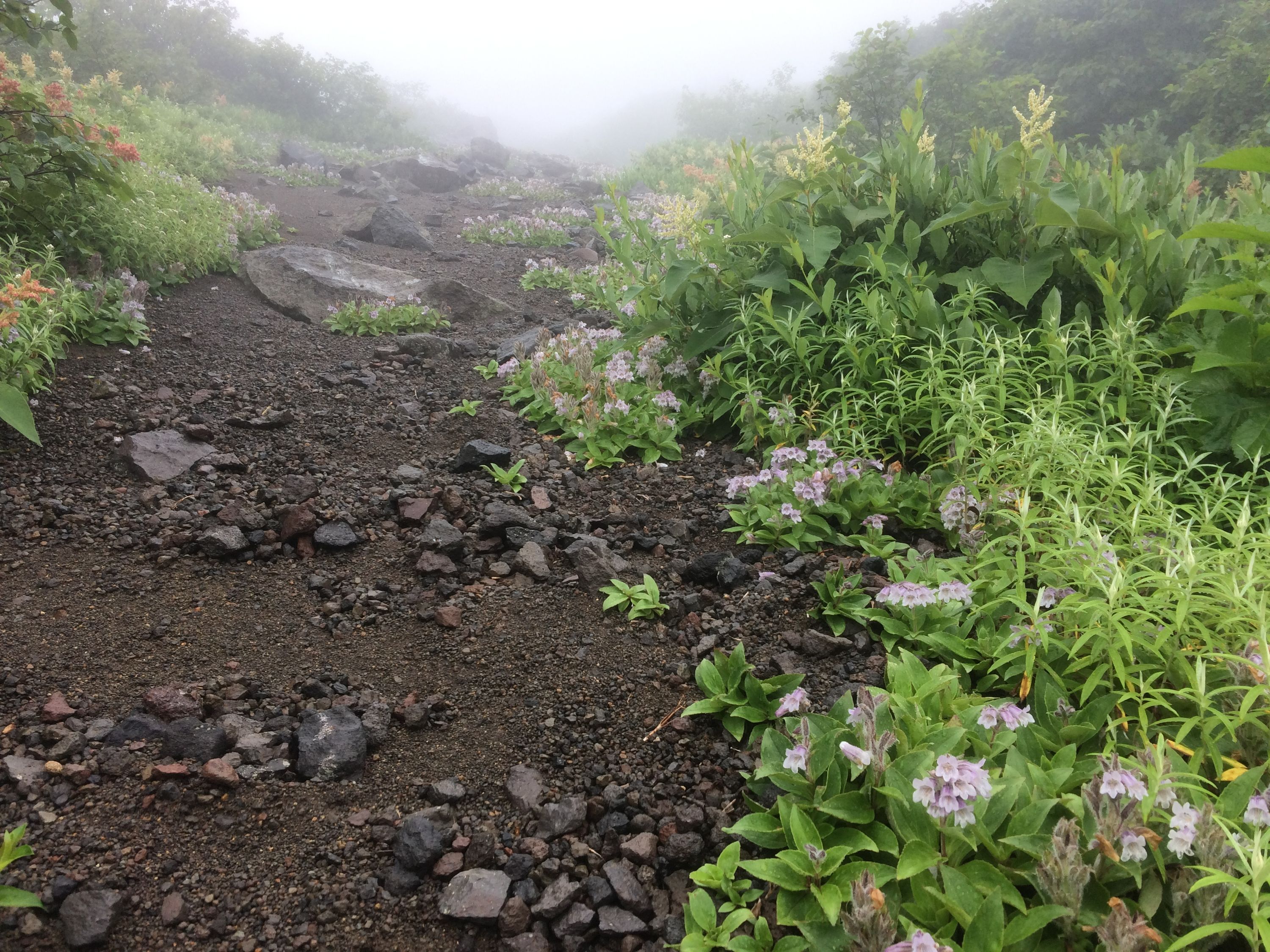
Into a grey cloud, into a drizzle which turned into driving rain, into a birch forest which thinned out as I climbed, a girl dressed like a deep-sea diver appearing and disappearing on the narrowing trail. A fierce, cold wind blew out of the crater, and I picked my way around its rim, between large slabs of volcanic rock. It was mountain life at its purest and most pointless. You walk up mountains because you walk up mountains. On the way down, into a proper downpour, I walked barefoot in the mud, similarly to how I had walked out of the thin air of Mount Muhavura in the Virungas, all those summers ago, and I was a tiny grey speck, alone, mesmerized.
The volcano is also, and perhaps more commonly, known as Mount Yōtei.↩︎