Day 7 (April 19, 2017)
Yamakawa, Kagoshima → Ferry across Kagoshima Bay → Sata, Kagoshima
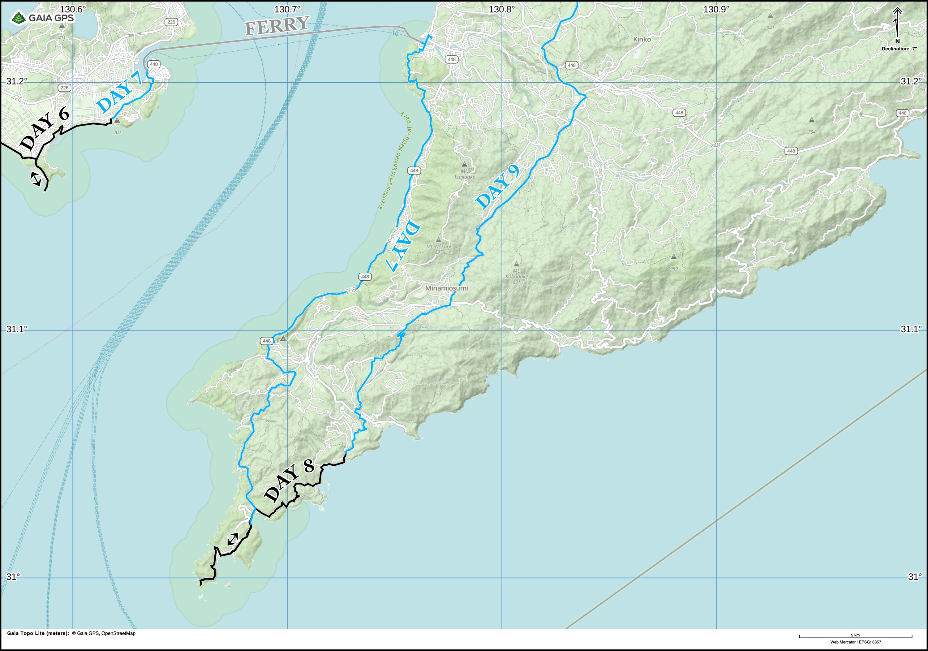
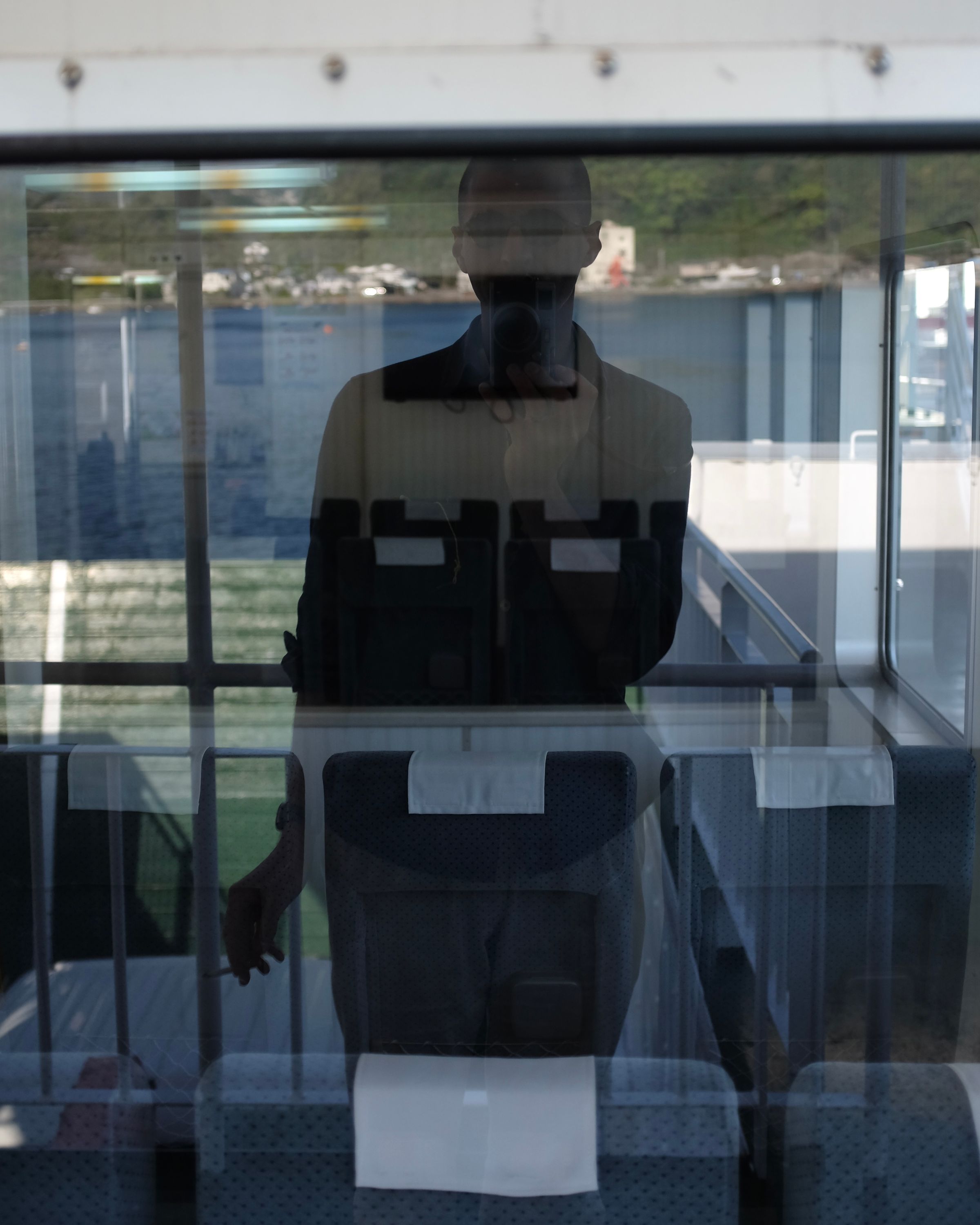
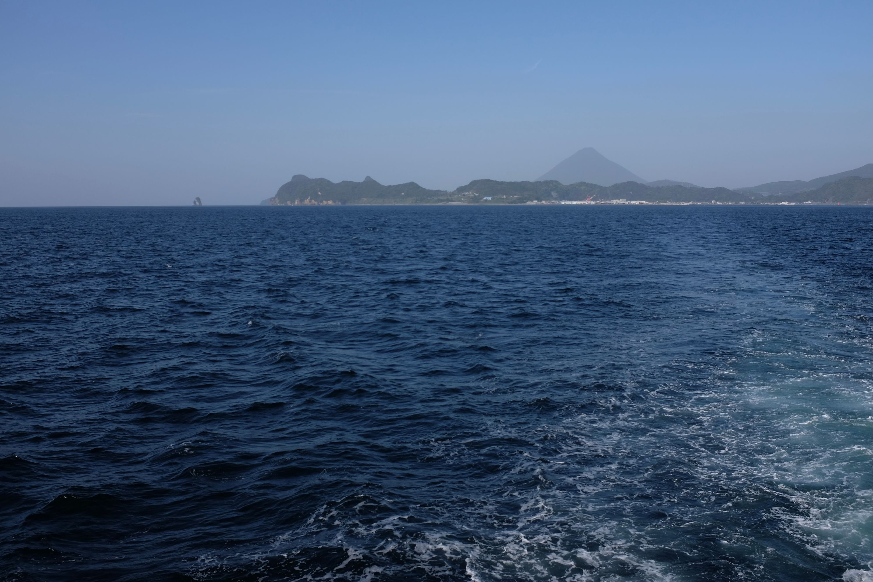
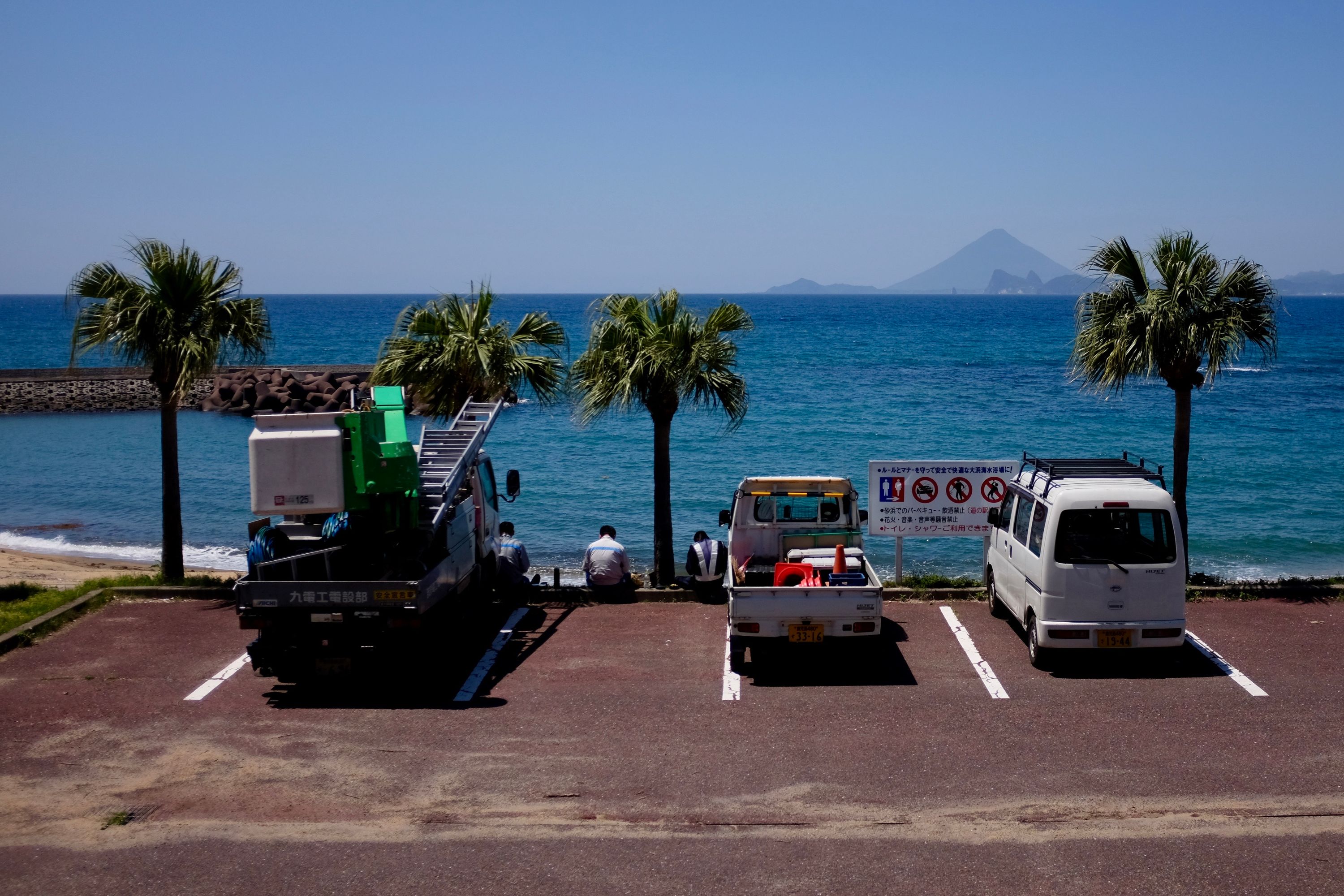
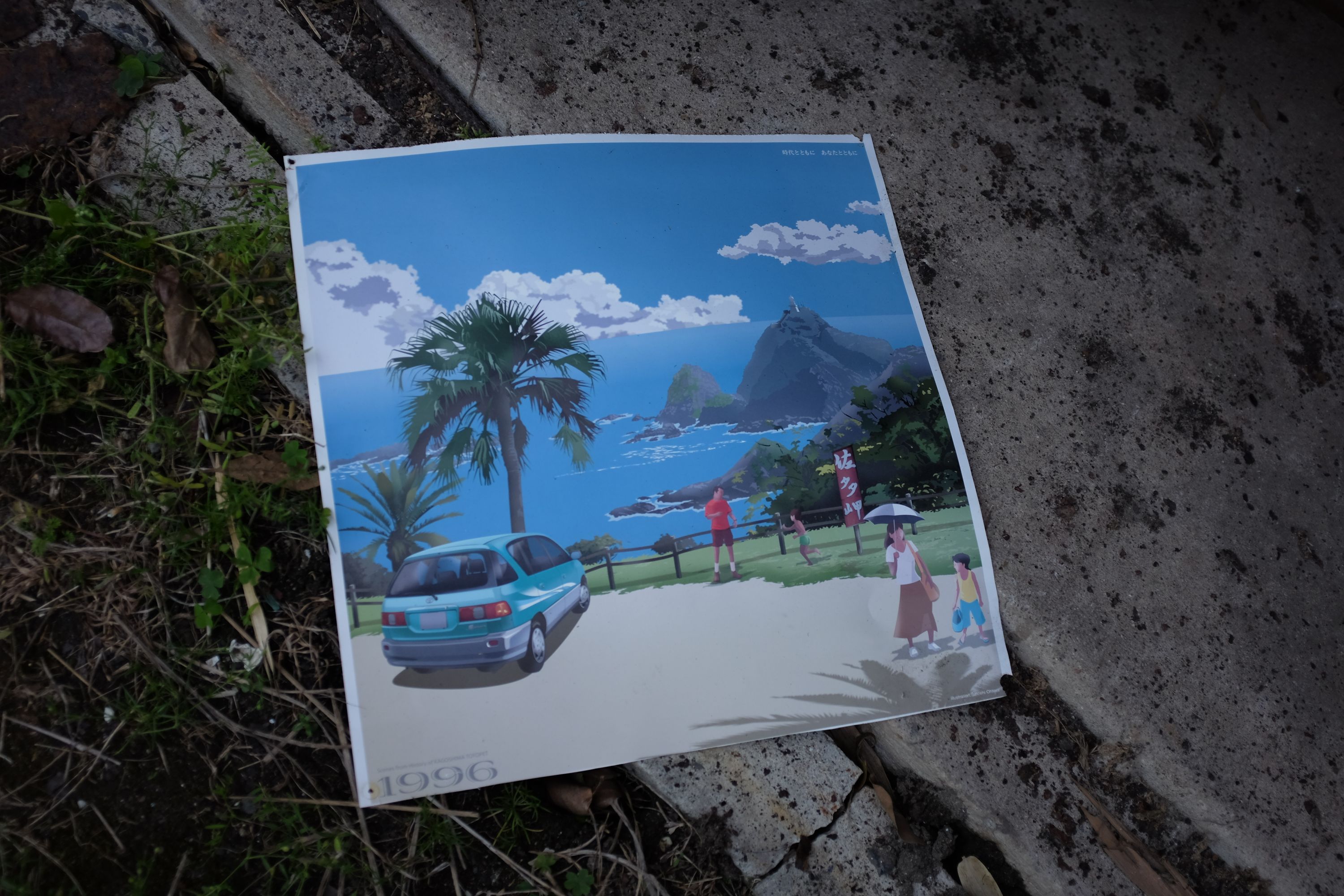
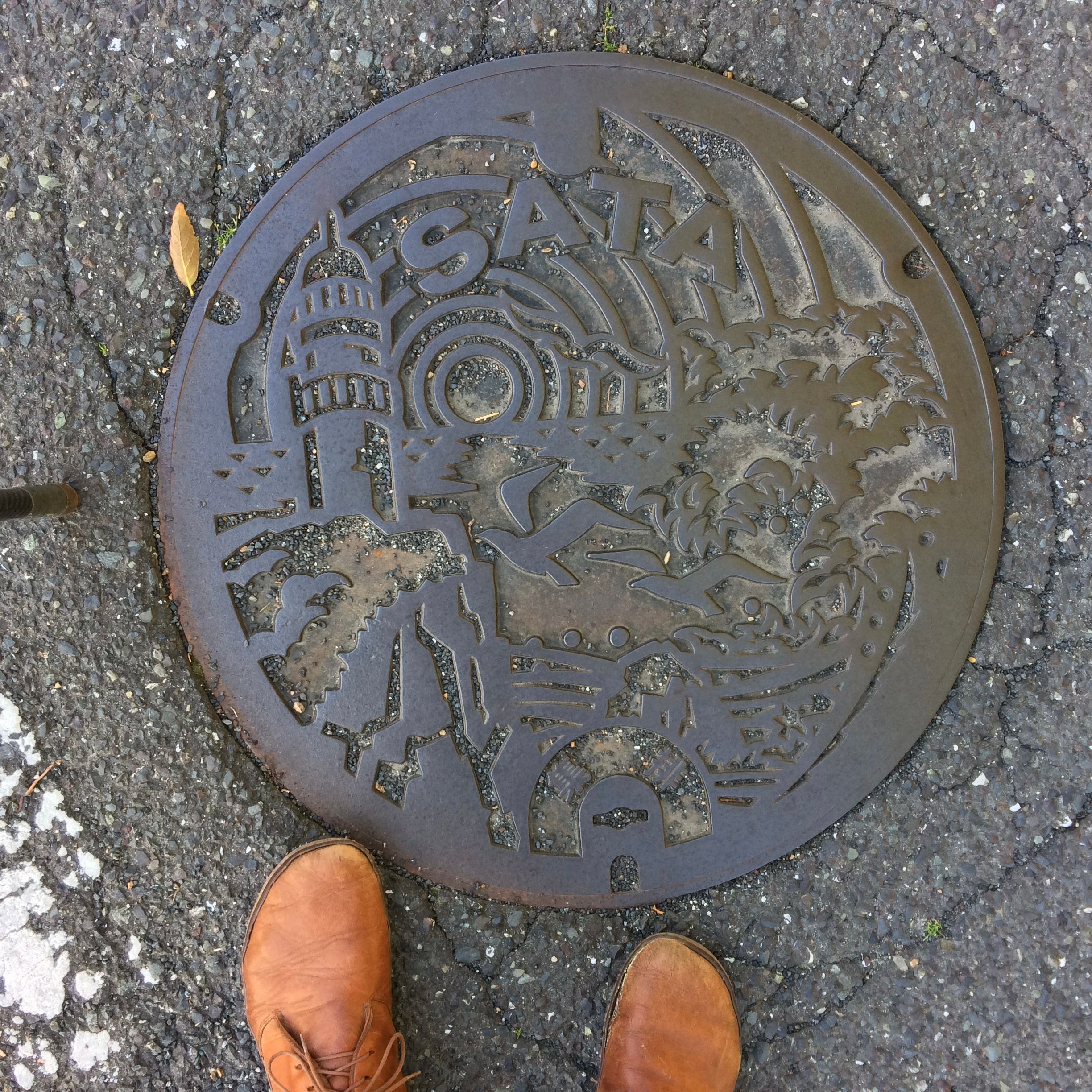
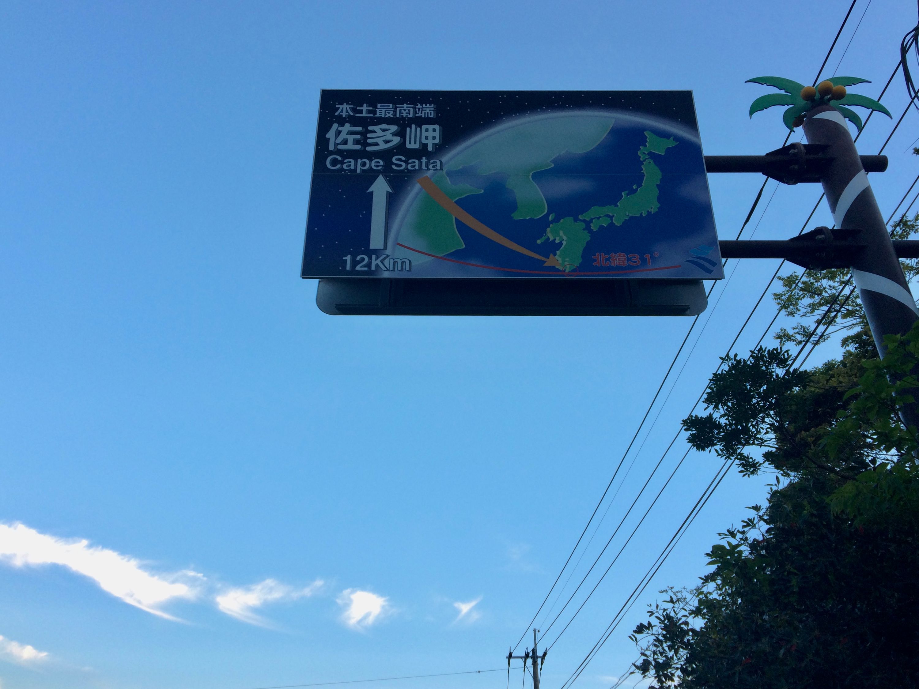
The Ōsumi Peninsula may only be a 40-minute ferry ride across the bay but it’s another world, more tropical and far more remote than Satsuma. On the yellow sand beaches you can find oranges in the flotsam. It is the end of the Japanese mainland: 40 kilometers south of the ferry port of Nejime is Cape Sata.
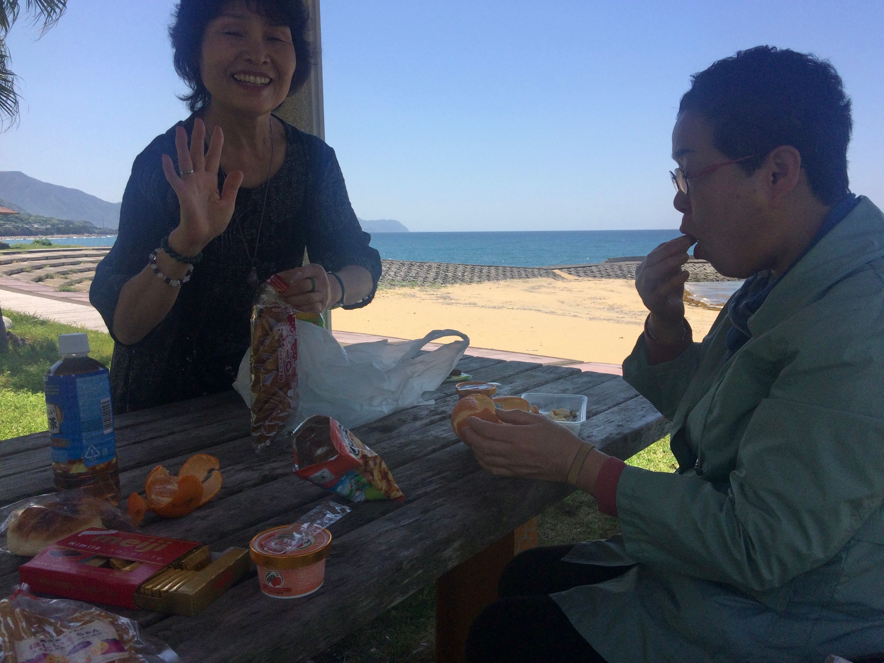
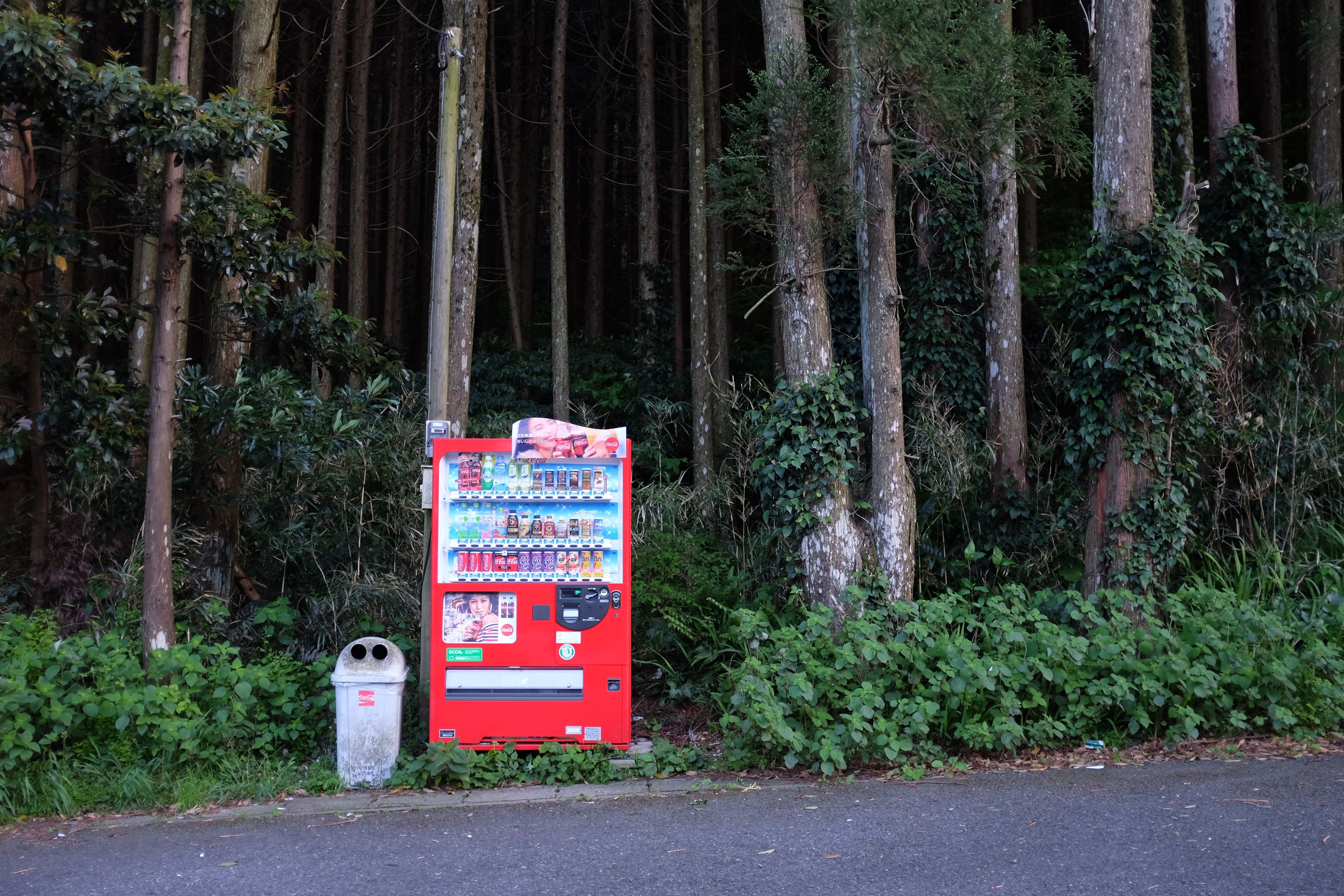
In May 2016, when I walked across the Zagros Mountains from Hamadan to Erbil, I was fed and bathed and housed in every town and village on the way. In Japan, you have to fend for yourself but tell that to these two lovely ladies from Toyama. I had met them on the ferry from Yamakawa to Nejime, and when they spotted me on the road to Cape Sata a few hours later, they waved me over and plied me with food like an Iranian or an Iraqi would have. Sweet oranges and chocolate and sweet potatoes and rice tea were then stuffed into my rucksack and they sayonara’d away like fairies. For the next three hours I floated down the road on clouds of ice cream and chocolate, carried forward in the warm subtropical sun by sugar and undiluted human kindness.
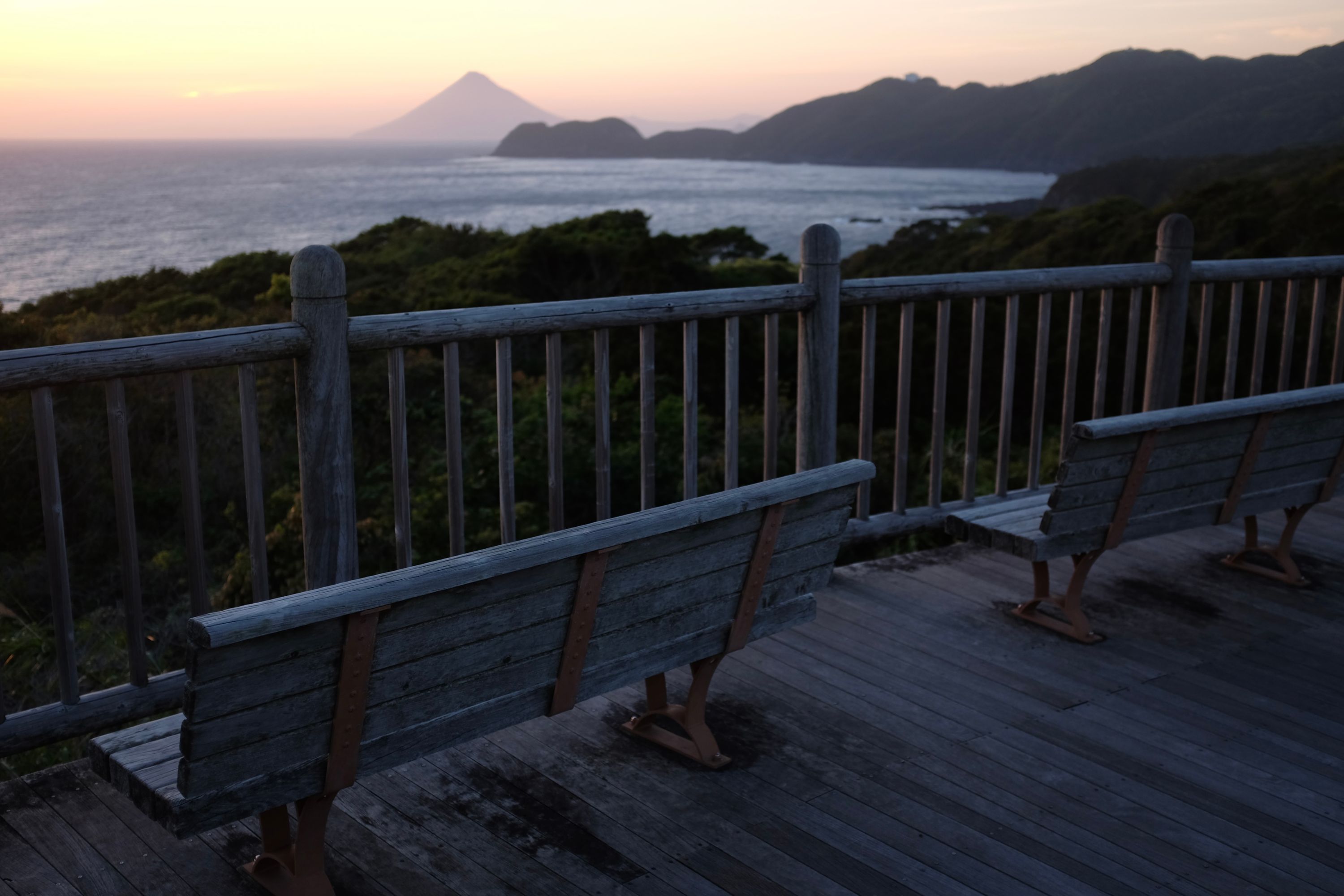
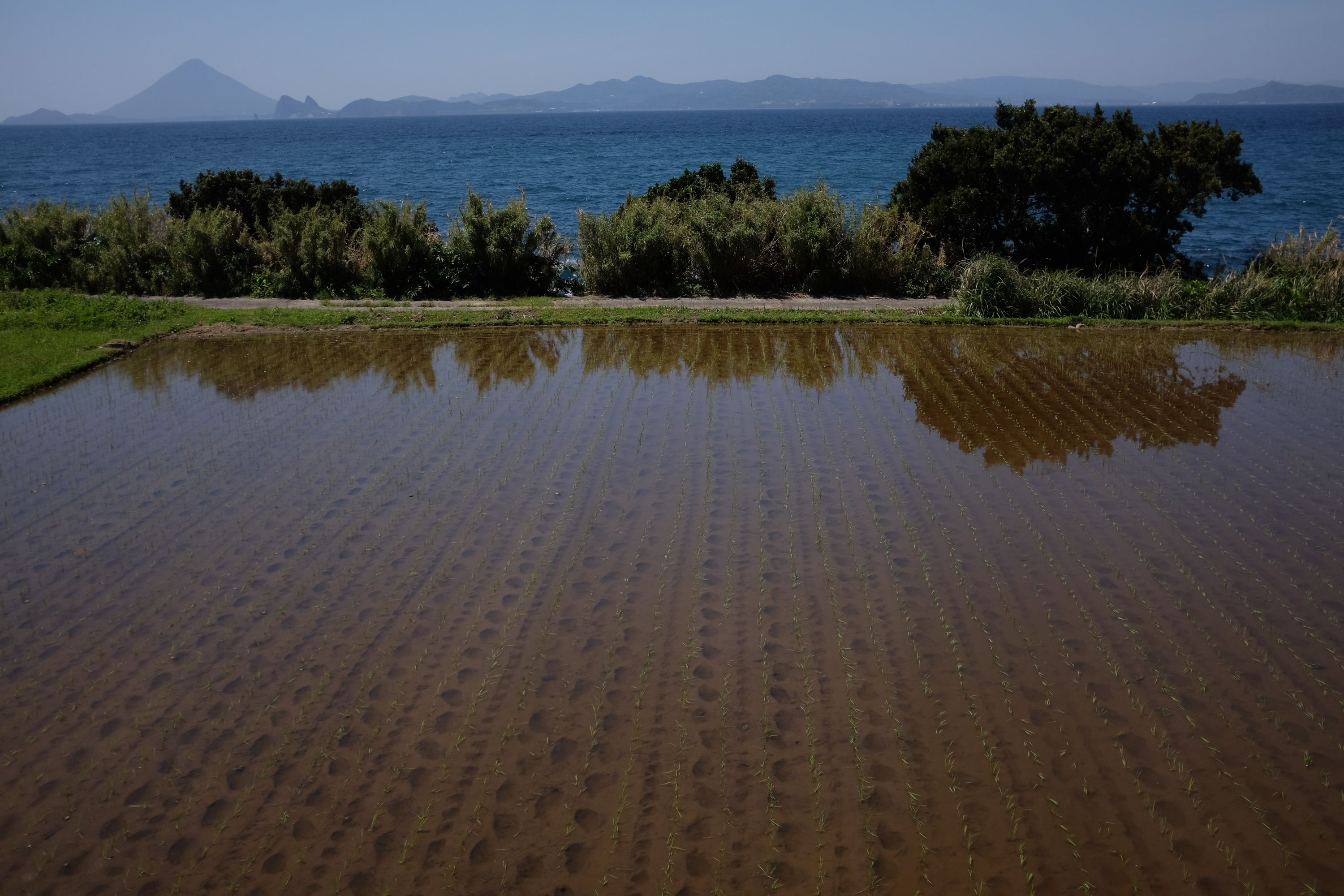
On the last road to Cape Sata, a boy on his way home from school came up to me, a man twice his height and three times his age, and invited me for a walk in a comically fecund garden. We had no words in common but we did have giant subtropical leaves to play drums on, and then he waved goodbye and I walked into the last hills of Japan, watching footprints in the mud in the flooded rice paddies, the cone of Mount Kaimon in the distance growing purple and blue in the sunset, and signs warning against truculent monkeys.
This was the first of seven days when I didn’t walk every step of the way. It would have been perfectly possible to walk across Kyushu straight from Kagoshima City, but I liked the idea of beginning my journey by first touching the end of the Japanese railway network in Makurazaki then climbing Mount Kaimon. The latter is a prominent and symbolic mark of the southern end of the Japanese mainland.↩︎