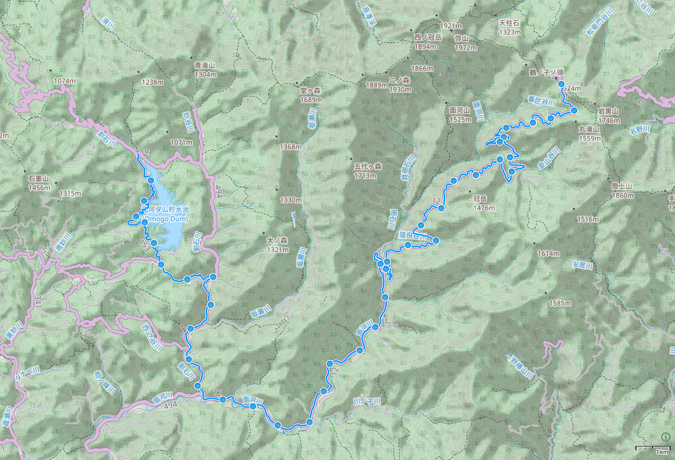
Kasagata, Ehime โ†’ Tsuchigoya, Ehime

Map of Ehime Prefecture with authorโ€™s route between Kasegata and Tsuchigoya highlighted. Open map in Gaia GPS โ†’


Two lizards have sex on the asphalt. ๐Ÿ“ Omogo Dam Park, Ehime

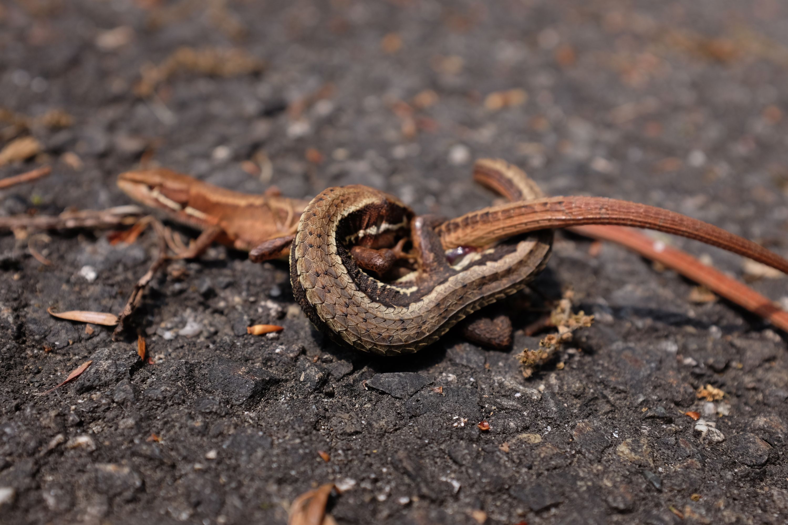
Now that I have seen lizard sex for the first time, I know that itโ€™s contorted and violent enough to be mistaken for predation. Unless of course youโ€™re a trained herpetologist, which Iโ€™m not.


A coiled-up blue hose and two old red televisions in a shed overgrowing with weeds.

A closeup of the head of a carved wooden owl. ๐Ÿฆ‰ Nakagumi, Ehime


In the medium distance, a man wearing a straw hat rides a mechanical planter in a flooded rice field in front of thickly forested hillsides.

An abandoned gas station whose walls are decorated with colorful, peeling silhouettes of construction workers. ๐Ÿ“ Wakayama, Ehime


A mountain cherry tree in bloom in the forest.

The silhouette of Mount Ishizuchi against a deep blue evening sky. ๐Ÿ“ Ishizuchi Skyline, Ehime

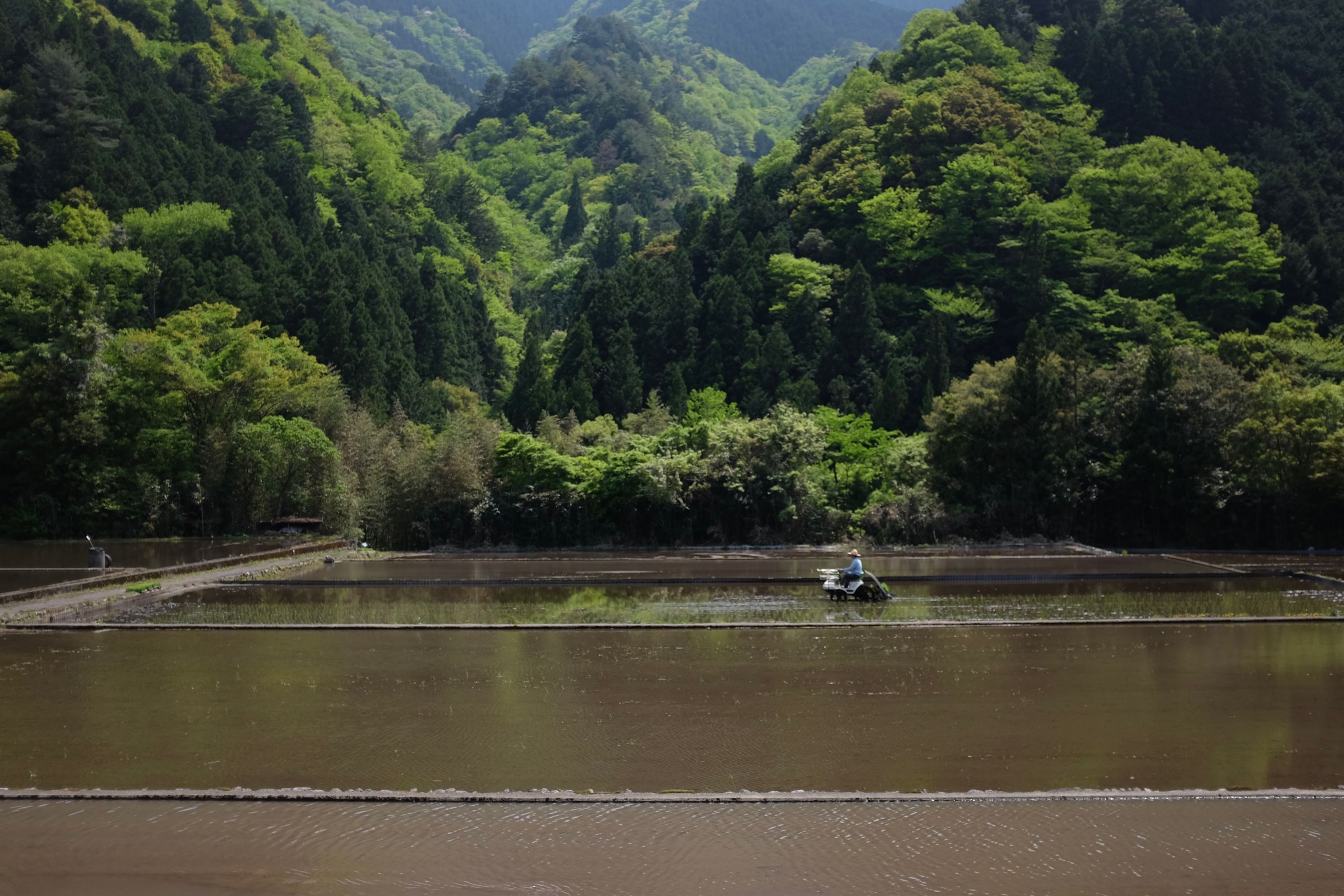
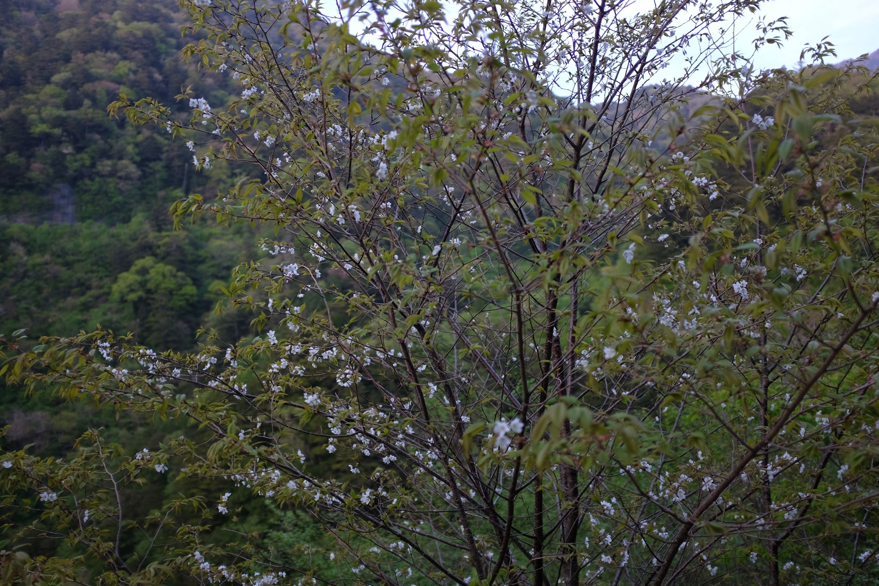
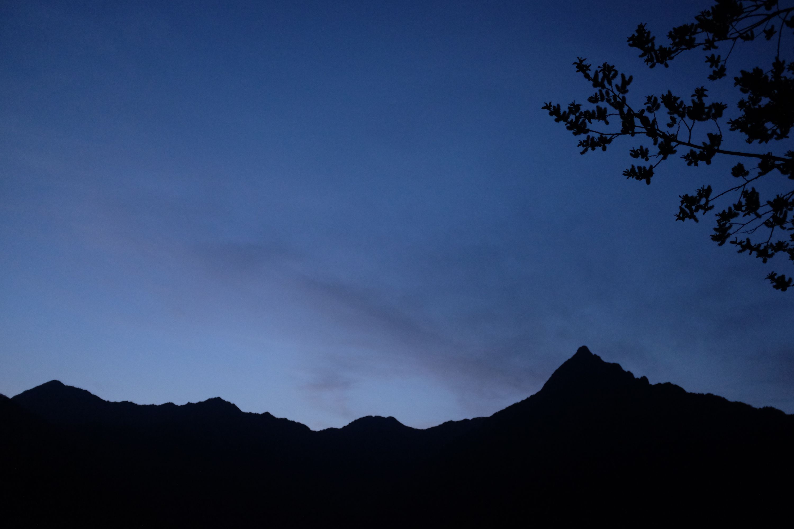
The highest mountain in Western Japan is not unlike the highest mountain of the Western Hemisphere: in Eastern Japan, where the high mountains are, it would be an unremarkable speck in a sea of snow peaks. But in its natural environment, Mount Ishizuchi is a singular pyramid capping a long ridgeline, a tiny Matterhorn or Minya Konka, obviously the highest point of the land. Dizzy with hunger, my fingers chilled to the bone, I walked up the long road leading to the pass below its summit, and slept under a cold, sparkling mountain sky, a mile above the Inland Sea.

These Walking Dreams is a visual field diary of a 4,300-kilometer walk from one end of Japan to the other, in the spring and summer of 2017.