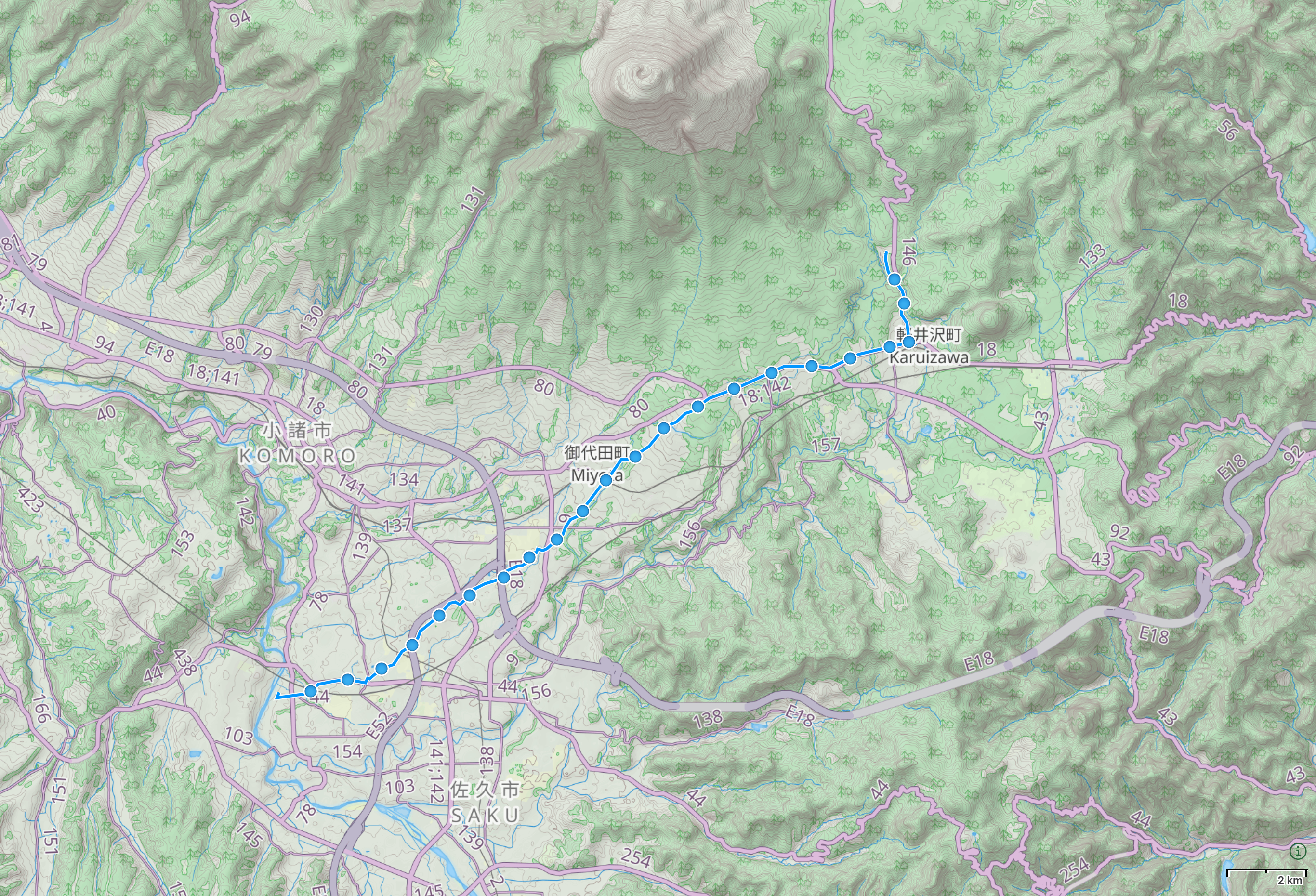
Day 70 (June 21, 2017)
Mochizuki, Nagano → Karuizawa, Nagano
“No one knows how long the rainy season will last,” the girl at the bathhouse said. “It’s usually over by the time school is out, the middle of July.”
We stood outside a striking Nordic cathedral of thermal water, where I had sat for hours, warming the tendons of my right hand. “Summer will come from the south,” she said.
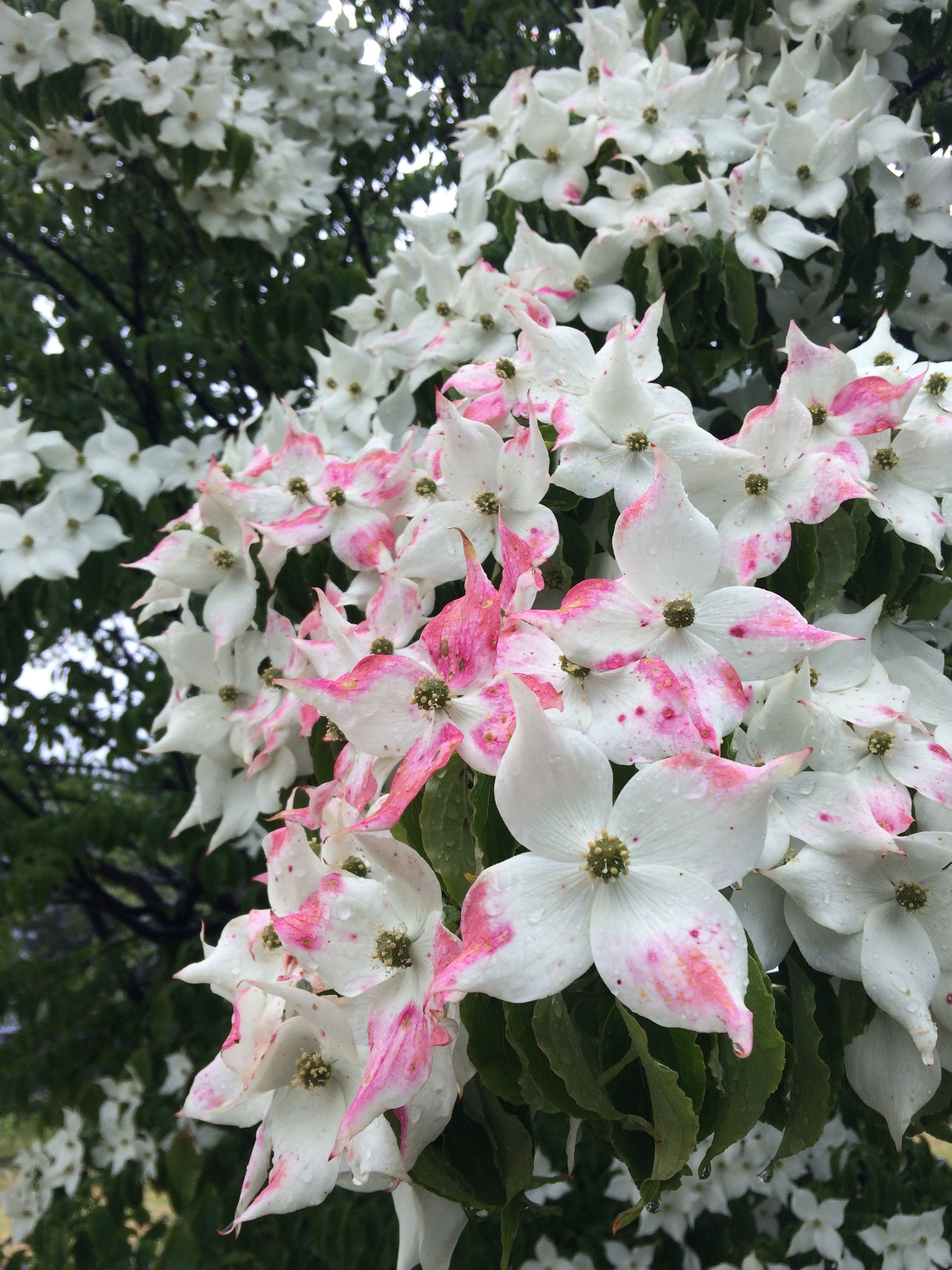
The rainy season had come from the south, too, it came at the speed of a shinkansen, and in four hours it reached the hill station of Karuizawa, whose streams now ran turbulent with brown water, rushing past trees in variegating bloom.
“But you are walking north,” she said with a rueful smile, and disappeared into the bathhouse.
Next → Day 71, June 22
Prev. ← Day 69, June 20
These Walking Dreams is a visual field diary of a 4,100-kilometer walk from one end of Japan to the other, in the spring and summer of 2017.